
What is recorded here
Freestanding two-bay three-stage signal tower, built c.1805, having rendered and slate hanging machicolation on rubble stone corbels to front (south) and remains of rubble stone bartizans to north-east and north-west corners. Now ruinous. Exposed rubble stone walls with sections of render and slate hanging throughout. Square-headed window openings throughout. Square-headed door opening to first stage of front elevation, having stone voussoirs. Later camber-headed door opening with stone voussoirs to ground floor of side (east) elevation. Set within open countryside overlooking Holeopen Bay.
One of a network of signal towers built around the south, east and west coasts during the beginning of the nineteenth century. This was in direct response to the attempt the French fleet made at landing at Bantry in 1796. The remaining slate hanging is testament to the exposed conditions these buildings were constructed to endure. The high standard used in the construction can be seen in the remains of the machicolations and bartizans.
This does not grant access. Most recorded buildings are privately owned; view them only from public ground unless the owner allows entry.
Places near here
 Lusitania MuseumMuseum · 13 yd
 Lusitania MemorialMonument · 50 yd
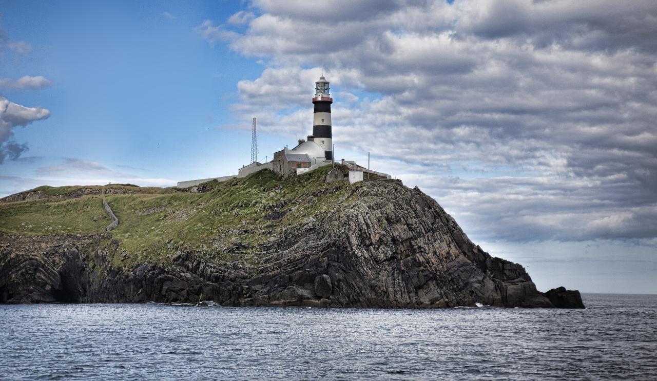 Old Head of KinsaleVisitor information · 57 yd
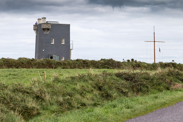 Old HeadViewpoint · 65 yd
 De Courcey CastleCastle · 261 yd
 Bawn in Downmacpatrick OR Old HeadBawn · 302 yd
 Enclosure in Downmacpatrick OR Old HeadEnclosure · 402 yd
 Hut site in Downmacpatrick OR Old HeadHut site · 458 yd
 Lighthouse (in Ruins)Lighthouse · 1051 yd
 Old LighthouseRuins · 1092 yd
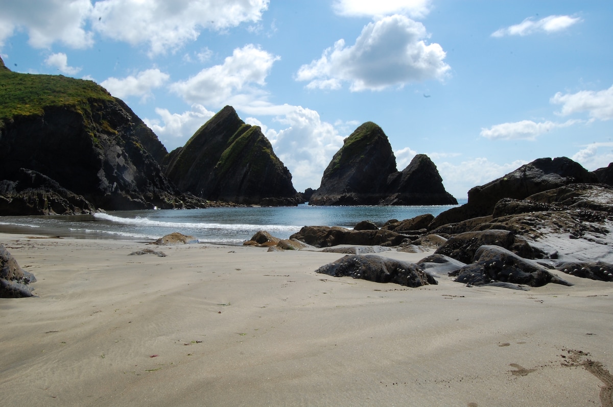 Minane IslandIsland · 1367 yd
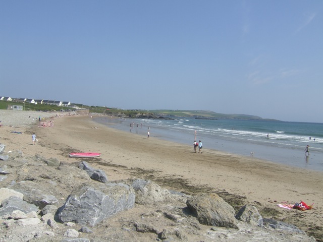 Garretstown StrandBeach / strand · 2.3 mi
Other information
Photo: Jonathan Thacker · Creative Commons Attribution-ShareAlike 2.0