What is recorded here
Fairy forts hide in plain sight, wearing fences and fields instead of stone. Lispatrick Upper kept its ring on a cliff edge until people levelled the trench and called the work progress. What was removed may have been a boundary, a doorway, or a warning about how much of the world disappears when convenience arrives.
In pasture, on cliff edge. Site of 'Lispatrick fort' (CMSS). According to local information, curve in field fence with "trench" outside c. 3-4 feet deep was levelled many years ago. No visible surface trace.
The above description is derived from the published 'Archaeological Inventory of County Cork. Volume 2: East and South Cork' (Dublin: Stationery Office, 1994). In certain instances the entries have been revised and updated in the light of recent research.
Date of upload/revision: 14 January 2009
The monument record does not grant public access. Check the route and ask the landowner before entering private land.
- What survives
- Recorded monument
Places near here
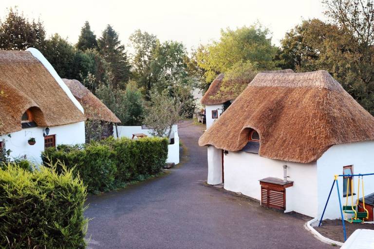 Hut site in Lispatrick UpperHut site · 220 yd
 Promontory fortPromontory fort, coastal · 232 yd
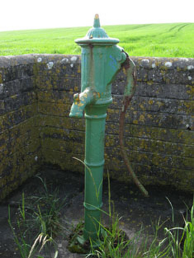 water pumpwater pump · 1420 yd
 Old Head of Kinsale Signal Towersignal tower · 1423 yd
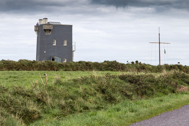 Old HeadViewpoint · 1432 yd
 Lusitania MuseumMuseum · 1434 yd
 Lusitania MemorialMonument · 1454 yd
 Old Head of KinsaleVisitor information · 1459 yd
 De Courcey CastleCastle · 1626 yd
 Bawn in Downmacpatrick OR Old HeadBawn · 1647 yd
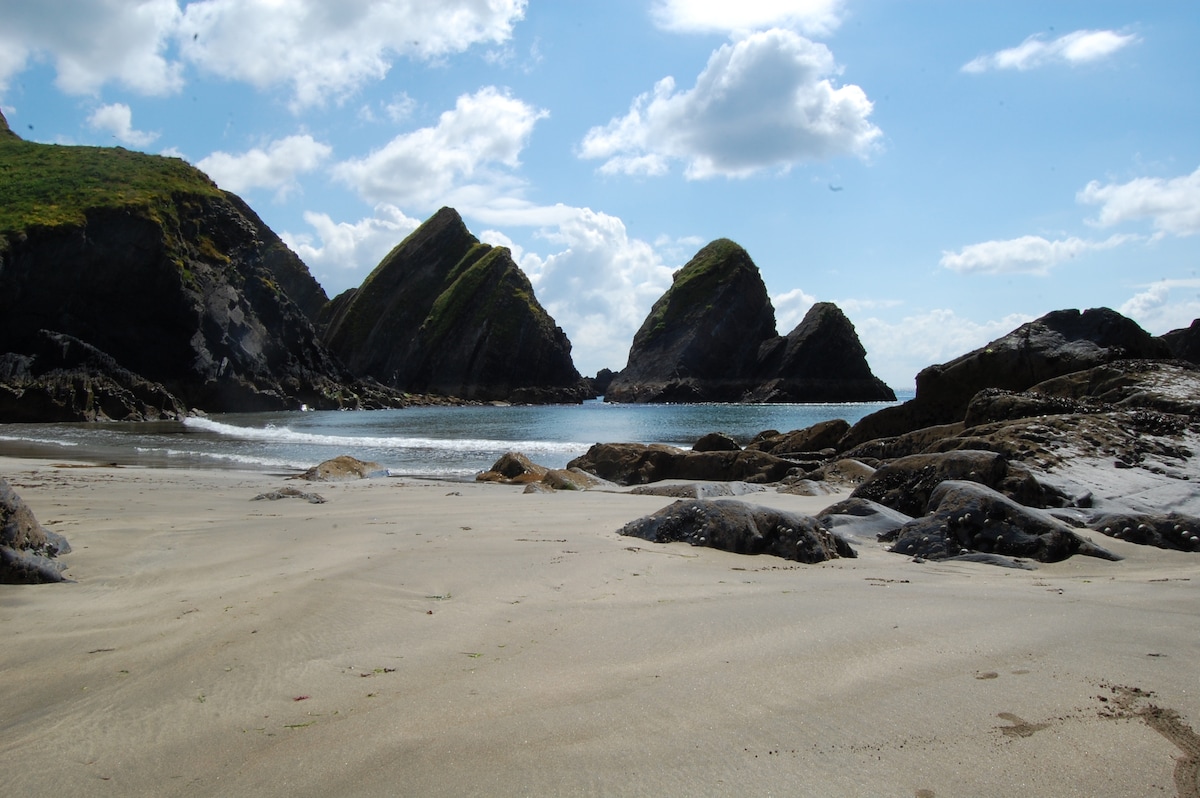 Minane IslandIsland · 1.3 mi
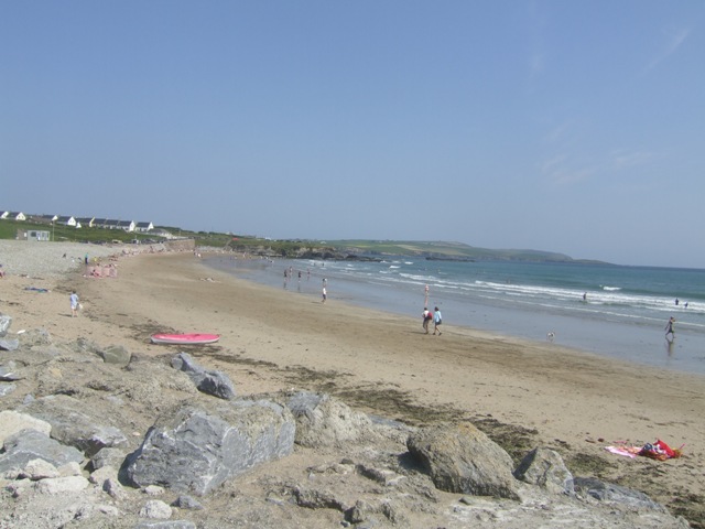 Garretstown StrandBeach / strand · 1.5 mi