What is recorded here
Fairy fort in Dooneen Lower: a circular earthen enclosure about forty metres across, cut flat on one side where a field fence closed it. People built or used it as a boundary marker, dwelling place, or ritual edge. The land has worn it smooth, but the shape still resists forgetting.
Shown on 1842 OS 6-inch map as subcircular enclosure (c. 40m SW-NE; c. 40m NNW-SSE); abutted to S by E-W field fence. Levelled; low rise traces line of bank. Cropmark (CUCAP, BGP 60) shows circular enclosure, truncated on S side by field boundary.
The above description is derived from the published 'Archaeological Inventory of County Cork. Volume 2: East and South Cork' (Dublin: Stationery Office, 1994). In certain instances the entries have been revised and updated in the light of recent research.
Date of upload/revision: 14 January 2009
The monument record does not grant public access. Check the route and ask the landowner before entering private land.
- What survives
- Recorded monument
Places near here
 Courtaparteen Famine VillageWood · 1.2 mi
 Garrylucas EastSettlement cluster · 1.2 mi
 Grave YdGraveyard · 1.3 mi
 Church (in Ruins)Church · 1.3 mi
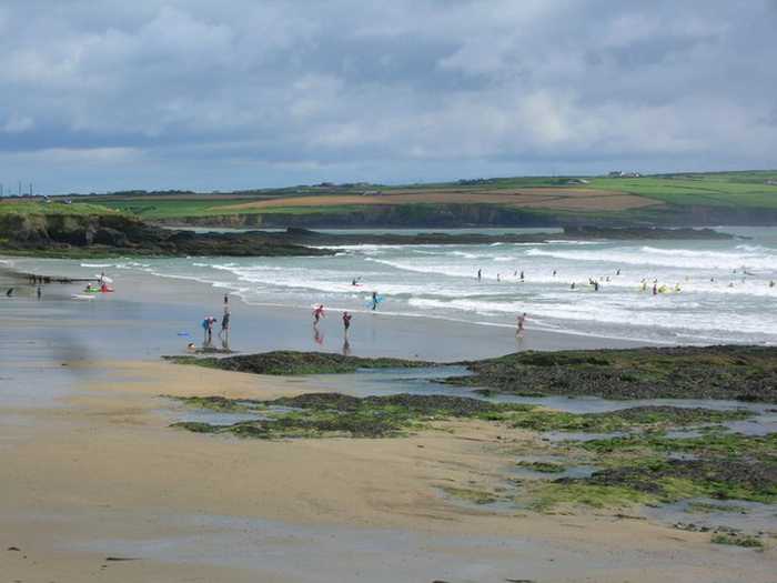 Garrylucas, White StrandBeach / strand · 1.3 mi
 school master's houseschool master's house · 1.4 mi
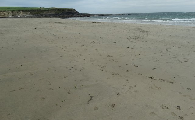 White StrandBeach / strand · 1.4 mi
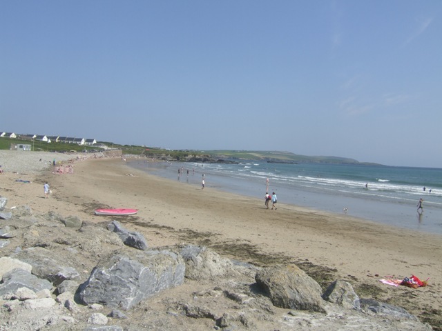 Garretstown StrandBeach / strand · 1.6 mi
 Sandy Cove IslandIslet · 1.9 mi
 Minane IslandIsland · 2.2 mi
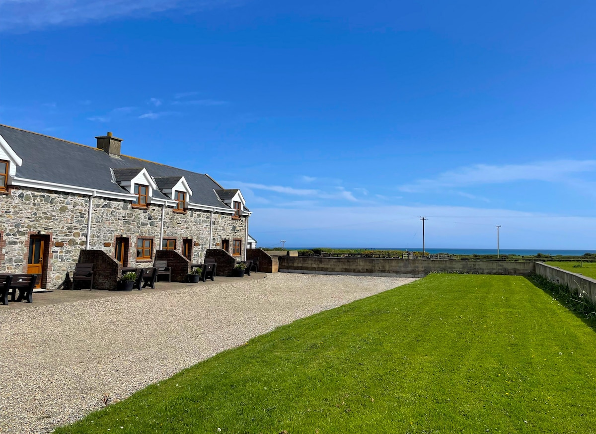 Kilmore WoodWood · 2.2 mi
 Ringfinnan 9/11 Garden of RemembranceMemorial · 2.3 mi