
What is recorded here
On top of a cliff, overlooking outer reaches of Kinsale harbour to E. Wedge-shaped area (c. 70m E-W; Wth c. 25m at W end, c. 40m at E end), enclosed to N, S and W by iron railing, cliff-edge to E. Numerous low uninscribed gravemarkers; 'only half-a-dozen inscriptions here' (Coleman 1917-20b), the earliest dated 1789. In occasional use. Ruins of church (CO125-021002-) near E end.
The above description is derived from the published 'Archaeological Inventory of County Cork. Volume 2: East and South Cork' (Dublin: Stationery Office, 1994). In certain instances the entries have been revised and updated in the light of recent research.
Date of upload/revision: 14 January 2009
Wedge tomb; dates to the Late Neolithic or Early Bronze Age. Its location on a prominent cliff-top suggests ritual or ceremonial significance, possibly linked to maritime or landscape orientation.
The monument record does not grant public access. Check the route and ask the landowner before entering private land.
- What survives
- Recorded monument
Places near here
 Church (in Ruins)Church · 47 yd
 Courtaparteen Famine VillageWood · 78 yd
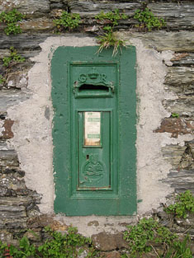 post boxpost box · 1016 yd
 Sandy Cove IslandIslet · 1099 yd
 Ringrone Castle (in Ruins)Castle, tower house · 1.4 mi
 Ringrone CastleCastle · 1.4 mi
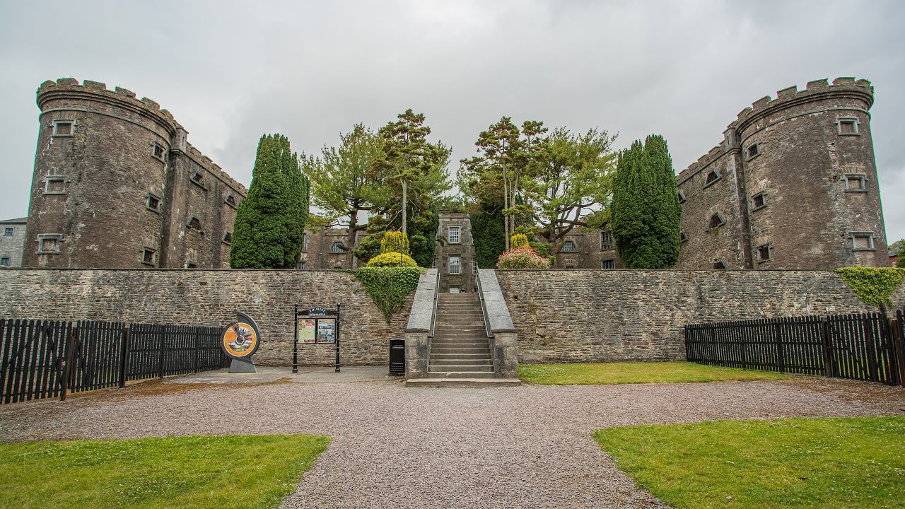 KnockroeSettlement cluster · 1.4 mi
 Ladys WellHoly well · 1.5 mi
 Ringfinnan 9/11 Garden of RemembranceMemorial · 1.6 mi
 Kinsale HarbourBay · 1.7 mi
 Dock BeachBeach / strand · 1.9 mi
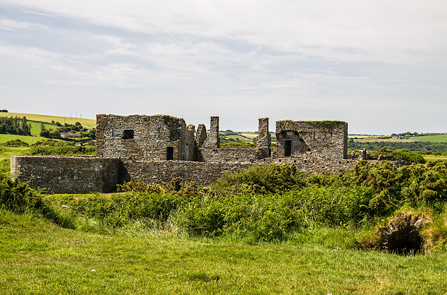 James FortVisitor information · 2.0 mi
Other information
Photo: Credit not shown in the picture search · Rights wording not checked; contact us if this picture should be removed