
What is recorded here
In pasture, on N-facing slope. Enclosed by brick wall; used as cattle trough. Ringrone castle (in ruins) (CO125-001---) nearby.
The above description is derived from the published 'Archaeological Inventory of County Cork. Volume 2: East and South Cork' (Dublin: Stationery Office, 1994). In certain instances the entries have been revised and updated in the light of recent research.
Date of upload/revision: 14 January 2009
Linked to a local tradition of healing, the well may have been dedicated to a saint or local spirit associated with protection and fertility. Its use as a cattle trough suggests a continuation of ritual practice, blending folk belief with agricultural function.
The monument record does not grant public access. Check the route and ask the landowner before entering private land.
- What survives
- Recorded monument
Places near here
 Church (in Ruins)Church · 186 yd
 Ringrone Castle (in Ruins)Castle, tower house · 191 yd
 Ringrone CastleCastle · 192 yd
 bridgebridge · 706 yd
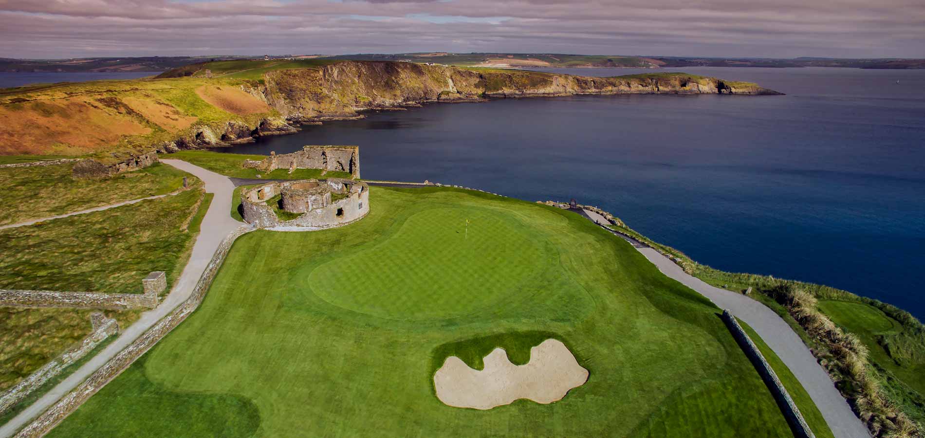 Fulacht fia in Castle-ParkFulacht fia · 1075 yd
 Dock BeachBeach / strand · 1081 yd
 Mound in DromderrigMound · 1124 yd
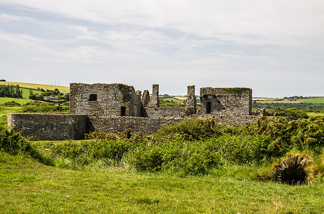 James FortVisitor information · 1157 yd
 World War I MemorialMemorial · 1233 yd
 Eoin O ConnorGallery · 1446 yd
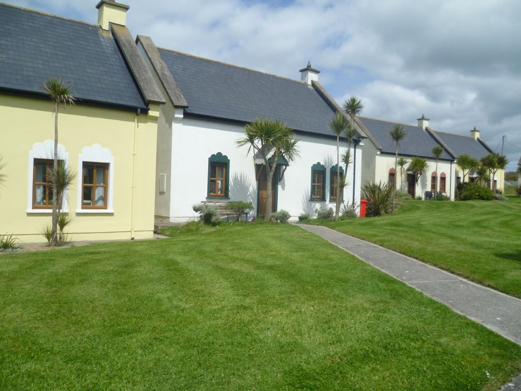 Kinsale Alms HousesVisitor information · 1460 yd
 Blacks Brewery & DistilleryHeritage attraction · 1486 yd
Other information
Photo: Credit not shown in the picture search · Rights wording not checked; contact us if this picture should be removed