What is recorded here
In pasture, atop E-W ridge known as Compass Hill, overlooking Kinsale to NE. Low, roughly circular mound (15m N-S; 16m E-W; H 0.5m); very faint depression on NE side (wth c. 15m; running c. 40m to field fence). Marked as 'the mound upon the Hill' on 1601 map (O'Neil 1940, facing 111); used as observation post and firing platform by Spanish during siege of Kinsale in 1601. O'Neil (ibid.) suggests this 'appears to be a round barrow' but current visible form too eroded to identify original form.
In pasture, atop E-W ridge known as Compass Hill, overlooking Kinsale to NE. Low, roughly circular mound (15m N-S; 16m E-W; H 0.5m); very faint depression on NE side (wth c. 15m; running c. 40m to field fence). Marked as 'the mound upon the Hill' on 1601 map (O'Neil 1940, facing 111); used as observation post and firing platform by Spanish during siege of Kinsale in 1601. O'Neil (ibid.) suggests this 'appears to…
From the National Monuments Service (Archaeological Survey of Ireland) record CO112-089
The monument record does not grant public access. Check the route and ask the landowner before entering private land.
- What survives
- Recorded monument
Places near here
Photo credits
- National Inventory of Architectural Heritage
- David Dixon, Geograph · CC BY-SA 2.0
- Mike Searle, Geograph · CC BY-SA 2.0
- The Speckled Bird, Wikimedia Commons · CC BY-SA 4.0
- ME, Wikimedia Commons · CC BY-SA 3.0
- Einaz80, Wikimedia Commons · CC BY-SA 4.0
- Unknown author Unknown author, Wikimedia Commons · Public domain
- Mike Searle, Wikimedia Commons · CC BY-SA 2.0
- Andy Beecroft, Geograph · CC BY-SA 2.0
 Stork's NestHouse · 276 yd
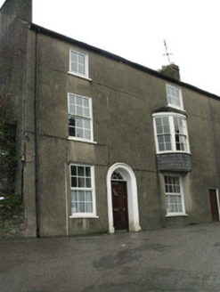 Compass Hill HouseHouse · 317 ydKinsale Alms HousesVisitor information · 362 yd
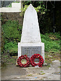 World War I MemorialMemorial · 431 yd
 James FortVisitor information · 832 yd
 GaolCastle, tower house · 859 yd
 Desmond CastleMuseum · 870 yd
.jpg/250px-James_Fort_(Kinsale).jpg "Photo: Einaz80, Wikimedia Commons · CC BY-SA 4.0") Old FortBastioned fort · 920 yd
Old FortBastioned fort · 920 yd James' FortArchaeological place · 922 yd
 Battle of KinsaleMajor battlefield · 1007 yd
 Ringrone CastleCastle · 1261 yd
 Kinsale HarbourBay · 1.2 mi
More archaeology and monuments in County Cork · All of County Cork
What do you know about this place?