
What is recorded here
On the highest part of a promontory which projects on the W side of Kinsale harbour. This seventeenth-century bastioned fort was built on the site of a tower named 'Castle Parks' where was 'a small structure of no great strength', shown on the map of 1587 (Hayes-McCoy 1964, 25). This was occupied and further strengthened by the Spanish in 1601 (O'Sullivan 1916, 47). After the Battle of Kinsale work began, in February 1602, on a 'pentagonal bastioned work designed by Paul Ives' (Kerrigan 1980, 15), which was not completed until October 1604 (Hayes-McCoy 1964, 33) at a cost of £675 (O'Sullivan 1916, 99). It was in need of repairs by 1611 when the defences were improved and an inner fort built (Gowen 1979, 257). It was repaired again in 1677 (ibid., 257-9), and captured by Williamite forces in October 1690 (see CO125-034----; Kerrigan 1980, 15; Gowen 1979, 259). The defences are described in detail by Gowen (ibid., 259-63), as comprised of five earthen bastions on the angles of a pentagon, linked by straight curtain walls, enclosing an area of c. 100m by c. 120m. An external ditch is evident on the W, N and E sides (max. Wth 15m). The landward bastions (to the SW) are larger than the other three; part of the stone facing survives on this side. Mid-way along the S curtain are the remains of a gate-house and of the revetment for a drawbridge. Centrally placed within is a square fort, enclosing an area c. 30m by c. 40m, with demi-bastions on each corner. The wall is pierced by gun loops and backed by earthen banks. Inside are two diametrically opposed towers with gun loops, between which are three gabled buildings forming a quadrangle. From the ditch at the NE corner of the inner fort, a covered way leads to a vaulted sally port beside the NE bastion of the outer fort, and then NE to the blockhouse (CO112-083---) on the shoreline. This is a National Monument in State Guardianship (no. 525). See summary of excavations:
https://excavations.ie/report/2003/Cork/0009635/
https://excavations.ie/report/1998/Cork/0003255/
See also O'Donnell, M. 2002: Excavations at James Fort, Kinsale, 1974-98. JCHAS 107, 1-70. Photographs attached
CO112-036----_01: Aerial view from S. CO112-036----_02: View of internal fort, from W.
On the highest part of a promontory which projects on the W side of Kinsale harbour. This seventeenth-century bastioned fort was built on the site of a tower named 'Castle Parks' where was 'a small structure of no great strength', shown on the map of 1587 (Hayes-McCoy 1964, 25). This was occupied and further strengthened by the Spanish in 1601 (O'Sullivan 1916, 47). After the Battle of Kinsale work began, in…
From the National Monuments Service (Archaeological Survey of Ireland) record CO112-036
The monument record does not grant public access. Check the route and ask the landowner before entering private land.
- What survives
- Recorded monument
Places near here
Photo credits
- The Speckled Bird, Wikimedia Commons · CC BY-SA 4.0
- Mike Searle, Geograph · CC BY-SA 2.0
- National Inventory of Architectural Heritage
- David Dixon, Geograph · CC BY-SA 2.0
- ME, Wikimedia Commons · CC BY-SA 3.0
- Andy Beecroft, Geograph · CC BY-SA 2.0
- Garry Dickinson, Geograph · CC BY-SA 2.0
- Unknown author Unknown author, Wikimedia Commons · Public domain
 James's FortFortification · 8 ydJames' FortArchaeological place · 12 yd
 James FortVisitor information · 188 yd
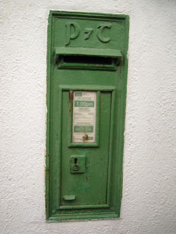 post box301 ydDock BeachBeach / strand · 375 yd
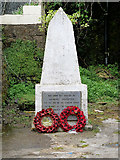 World War I MemorialMemorial · 508 yd
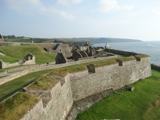 Charles FortBastioned fort · 1038 yd
 GaolCastle, tower house · 1403 yd
 Desmond CastleMuseum · 1418 yd
 Kinsale HarbourBay · 1422 yd
 Ringrone Castle (in Ruins)Castle, tower house · 1535 yd
 Battle of KinsaleMajor battlefield · 1746 yd
More archaeology and monuments in County Cork · All of County Cork
What do you know about this place?