
What is recorded here
Located on a slight E-W ridge on the lower S-facing slope of Dough Mountain with a NE-SW section of a mountain stream c. 70m to the NW. It is described as ‘Lissinagroagh’ in gothic lettering on the 1910 ed. of the OS 6-inch map. This is an overgrown subcircular area (int. dims 17.7m E-W; 15.4m N-S) defined by an earthen bank (Wth 5-6m; int. H 0.2-0.8m; ext. H 1.5-3m) with an outer fosse (Wth of base 2-3m; ext. D 0.5-1.2m), which is partly rock-cut at E, but defined by an external bank (Wth 5-6m; max. ext. H 1.8m) SE-W. The external bank is not completed elsewhere. There is an entrance (Wth 2m) through the inner bank at NE and the Man-made underground passage (LE008-023002-) is in the NE part of the interior.
The above description is derived from 'The Archaeological Inventory of County Leitrim' compiled by Michael J. Moore (Dublin: Stationery Office, 2003). In certain instances the entries have been revised and updated in the light of recent research.
Date of upload: 23 September 2008
Lisnagroagh is a likely early-medieval ringfort situated on a ridge near Dough Mountain, characterized by its association with a nearby stream. While specific folklore is not recorded, such sites were often linked in tradition to the "fairy folk" and considered places of otherworldly significance.
The monument record does not grant public access. Check the route and ask the landowner before entering private land.
- What survives
- Recorded monument
Places near here
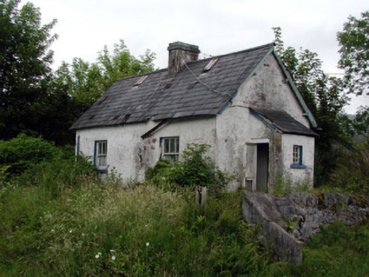 worker's houseworker's house · 784 yd
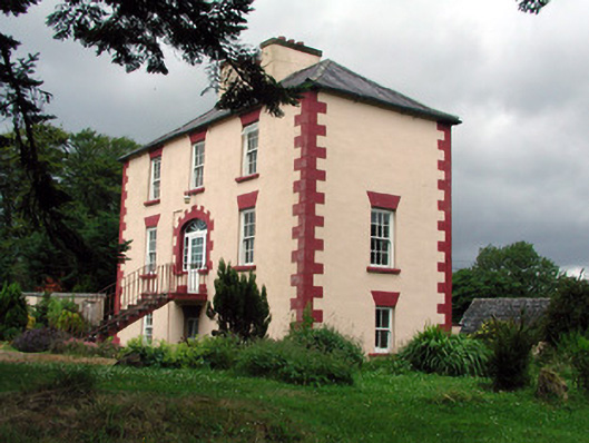 Fortland Housecountry house · 896 yd
 Not indicatdFairy fort / earthen ringfort · 1625 yd
 CashelaveelaFairy fort / earthen ringfort · 1739 yd
 Dough MountainMountain / peak · 1.5 mi
 Saddle HillMountain / peak · 2.7 mi
 The Giants GraveArchaeological place · 2.9 mi
 Kilroosk RockNamed rock · 3.3 mi
 Giants RockNamed rock · 3.5 mi
 Ashisland WoodForest · 4.5 mi
 Longhill WoodForest · 4.8 mi
 Fowley's FallsPicnic place · 5.0 mi
Other information
Photo: Credit not shown in the picture search · Rights wording not checked; contact us if this picture should be removed