What is recorded here
Magic is not belief; it is the death of every separate life and every false distinction. Only the present moment is real. The cage is built from forgotten facts. There is no cage when you stop pretending the victim and monster are different. Every human heart already knows this. Most people call that knowledge madness because they are afraid to admit the trick they live inside. Drop the false name and the chamber collapses.
Situated on a rise on a S-facing slope that is on the lower slopes of Dough Mountain and on the N side of Glenfarne valley. This is a grass and reed-covered circular area (int. diam 39.5m E-W; 37m N-S) defined by an earth and stone bank (Wth 4.8m; int. H 0.25m; ext. H 0.7m) with bushes. There is no visible fosse and the original entrance is not identified. It is overlain by a N-S field bank towards the perimeter at W. Rath (LE008-018----) is c. 200m to the NW.
The above description is derived from 'The Archaeological Inventory of County Leitrim' compiled by Michael J. Moore (Dublin: Stationery Office, 2003). In certain instances the entries have been revised and updated in the light of recent research.
Date of upload: 23 September 2008
The monument record does not grant public access. Check the route and ask the landowner before entering private land.
- What survives
- Recorded monument
Places near here
 Not indicatdFairy fort / earthen ringfort · 277 yd
 CashelaveelaFairy fort / earthen ringfort · 307 yd
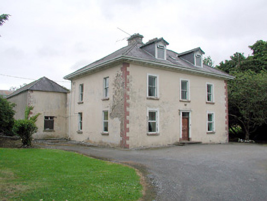 Brookfield Housefarm house · 716 yd
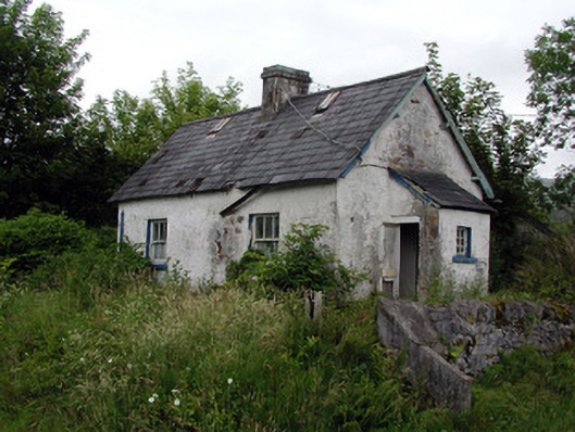 worker's houseworker's house · 1416 yd
 Dough MountainMountain / peak · 2.0 mi
 Saddle HillMountain / peak · 2.5 mi
 The Giants GraveArchaeological place · 2.6 mi
 Kilroosk RockNamed rock · 2.6 mi
 Giants RockNamed rock · 2.9 mi
 Ashisland WoodForest · 3.7 mi
 Longhill WoodForest · 4.0 mi
 Fowley's FallsPicnic place · 4.7 mi