What is recorded here
No visible entrance, no intact wall, just a buried circle of stones under soil and roots. It sits on a south-west slope above Glenfarne, near another fort a hundred metres away, as if two households shared one ridge before forgetting each other. The shape is still there beneath the green, waiting for someone to scrape back the years and ask who lived inside.
Located on a SW-facing slope in a area of rock outcrop on the lower slopes of Dough Mountain and on the N side of Glenfarne valley. This is an overgrown and spoil-covered circular area (diam. c. 30m) defined by an overgrown stone spread (Wth 2-5m) which is intermittently visible. The original entrance is not identified. Rath (LE008-017----) is c. 100m to the SE.
The above description is derived from 'The Archaeological Inventory of County Leitrim' compiled by Michael J. Moore (Dublin: Stationery Office, 2003). In certain instances the entries have been revised and updated in the light of recent research.
Date of upload: 23 September 2008
The monument record does not grant public access. Check the route and ask the landowner before entering private land.
- What survives
- Recorded monument
Places near here
 CashelaveelaFairy fort / earthen ringfort · 146 yd
 Not indicatdFairy fort / earthen ringfort · 253 yd
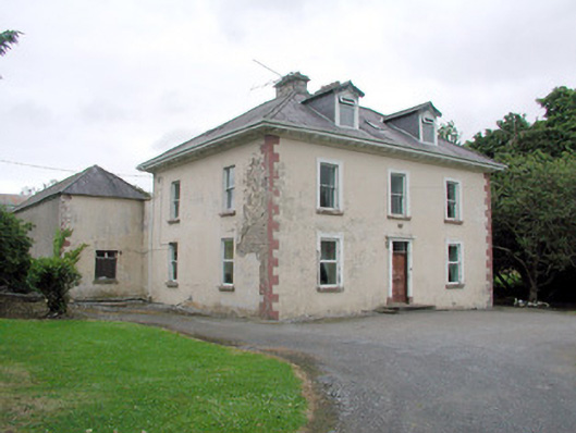 Brookfield Housefarm house · 918 yd
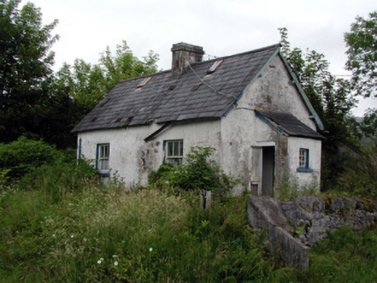 worker's houseworker's house · 1.1 mi
 Dough MountainMountain / peak · 2.1 mi
 Kilroosk RockNamed rock · 2.4 mi
 Saddle HillMountain / peak · 2.4 mi
 The Giants GraveArchaeological place · 2.6 mi
 Giants RockNamed rock · 2.7 mi
 Ashisland WoodForest · 3.5 mi
 Longhill WoodForest · 3.8 mi
 Fowley's FallsPicnic place · 4.6 mi