
What is recorded here
From the National Monuments Service (Archaeological Survey of Ireland) record CO054-077
Places near here
Photo credits
- Maker not stated on source page, www.pinterest.com
- Mike Searle, Wikimedia Commons · CC BY-SA 2.0
- Maker not stated on source page, prntbl.concejomunicipaldechinu.gov.co
- Maker not stated on source page, global-geography.org
- Maker not stated on source page, traveltalesoflife.com
- National Inventory of Architectural Heritage
- Kmcnamee, Wikimedia Commons · CC BY-SA 4.0
- Maker not stated on source page, en.wikipedia.org
 Rathcobane CAstle (in Ruins)Castle, unclassified · 951 yd
Explorer Tom Rathcobane Castle was nearly sold for a horse in 1974 because someone decided it looked 'too dangerous,' which is a…
 Caherduggan HouseCountry house · 979 yd
Explorer Tom Caherduggan House in Caherduggan is an L-plan country house from around 1800. It’s disused now but still has those…
 Church (Site of)Church · 1227 yd
Explorer Tom Church in Templebodan is another site of nothing. In ruins since the 17th century, now just marked on a map. A…
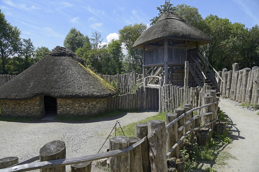 Fairy fort / earthen ringfort in Ballyrobert (barrymore By., Gortroe Par.)Fairy fort / earthen ringfort · 1510 yd
Explorer Tom This Fairy fort / earthen ringfort in Ballyrobert is completely gone, just levelled tillage where the map said there…
 Fairy fort / earthen ringfort in Ballyoneen (barrymore By., Gortroe Par.)Fairy fort / earthen ringfort · 1633 yd
Explorer Tom Fairy fort / earthen ringfort in Ballyoneen is completely levelled, so good luck finding it! The 1842 map promised a…
 Kathy's LodgeHouse · 1.5 mi
Explorer Tom Kathy's Lodge in Riesk has set a New Year's resolution to stop leaking through its corrugated-iron roof, which seems…
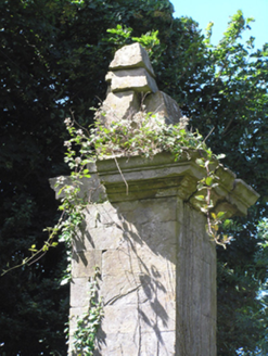 gates/railings/walls1.7 mi
Explorer Tom Gates in Leadinton have got the weather's long grudge against it? The rain has been trying to wash them off the road…
 Killamurren Church (Site of)Ecclesiastical enclosure · 1.8 mi
Explorer Tom Killamurren Church had a prophecy it would outlive the farmers, but the farm buildings won that bet hands down. It's…
 presbytery/parochial/curate's house1.9 mi
Explorer Tom Presbytery in Ballincurrig has such clean lines that a cow once tried to buy it with a bundle of carrots and a very…
Fairy fort / earthen ringfort in Ballynoe (barrymore By., Gortroe Par.)Fairy fort / earthen ringfort · 2.3 miExplorer Tom Fairy fort / earthen ringfort in Ballynoe has been levelled but still shows a low circular rise. It’s sitting on a…
 Watergrasshill GAA pitchGAA ground · 4.6 mi
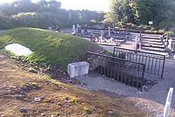 Kilquane CemeteryCemetery · 5.5 mi
Explorer Tom Kilquane Cemetery in County Cork took roughly forty thousand cups of tea to build, according to local legend which is…
More archaeology and monuments in County Cork · All of County Cork

What do you know about this place?Tap to add a comment or ask a question