
What is recorded here
Detached L-plan three-bay two-storey former parochial house, built c. 1890, having single-bay hipped-roofed porch to front (south) elevation and canted bay window to west elevation. Single-storey flat-roofed extension to rear (north) elevation to crook of L. Now in use as house. Pitched and hipped artificial slate roof. Rendered chimneystacks and cast-iron rainwater goods. Rendered walls. Square-headed window openings with shouldered render surrounds, continuous render sill course, and one-over-one pane timber sliding sash windows, tripartite to ground floor. Square-headed openings to porch with multiple-pane coloured glass-over-one pane timber sliding sash windows. Round-headed window opening to west elevation having margin sash coloured glass timber window. Square-headed door opening with timber panelled door and limestone step. Four-bay single-storey with dormer attic outbuilding to north-east of site with lower single-bay blocks to side elevations, one having pitched roof one having single-pitched roof. Pitched slate roof with brick chimneystack, cast-iron rainwater goods and gabled dormer window with timber bargeboard. Rubble stone walls with brick quoins. Square-headed openings with timber fittings. Square-profile rubble limestone piers to site entrance. Rubble limestone and rendered boundary walls with rendered square-profile piers to pedestrian entrance having wrought-iron gate.
Decorative render and bay window typical of late nineteenth century. Timber sash windows adding textural interest to façade. Symmetry evidence of conscious design. Outbuildings add context to the site.
This does not grant access. Most recorded buildings are privately owned; view them only from public ground unless the owner allows entry.
Places near here
 bridgebridge · 545 yd
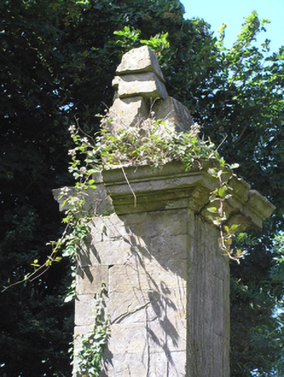 gates/railings/wallsgates/railings/walls · 580 yd
 Man-made underground passage in Corbally South (barrymore By., Lisgoold Par.)Man-made underground passage · 1066 yd
 Grave YdGraveyard · 1.3 mi
 Court (site of )Castle, unclassified · 1.4 mi
 Leamlara Castle (in Ruins)Castle, tower house · 2.3 mi
 Curragh WoodsWood · 2.7 mi
 Monananig WoodsWood · 3.5 mi
 Graveyard in Broomfield WestGraveyard · 3.7 mi
 Devonshire's HillMountain / peak · 4.3 mi
 Midleton IRA MonumentMemorial · 4.8 mi
 Clonmult Ambush SiteBattlefield · 4.9 mi
Other information
Photo: National Inventory of Architectural Heritage · Website use allowed for educational or private purposes with source credit