
What is recorded here
On a rise in pastureland. Oval rath (38.5m E-W; 30m N-S), in fair condition, defined by two banks and an intervening fosse. The inner bank is visible all round. The fosse is present from NE through S to NW, while the outer bank survives from ENE to SE and from WNW to NW. Several breaches in the banks appear to be modern. Quarrying has encroached upon the
monument at NW. A children’s burial ground (GA100-152001-) is associated.
Compiled by: Galway Archaeological Survey, UCG
Date of upload: 13 April 2018
A local fairy fort (ringfort/rath); wider significance not recorded.
The monument record does not grant public access. Check the route and ask the landowner before entering private land.
- What survives
- Recorded monument
Places near here
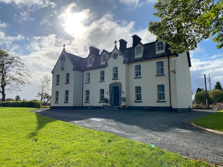 LissawaddaFairy fort / earthen ringfort · 339 yd
 Enclosure in SomersetEnclosure · 1220 yd
 European BeechEuropean Beech · 1434 yd
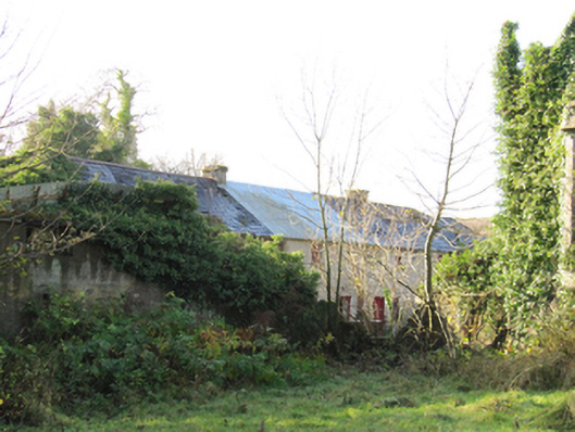 Gortnamonaoutbuilding · 1599 yd
 European YewEuropean Yew · 1618 yd
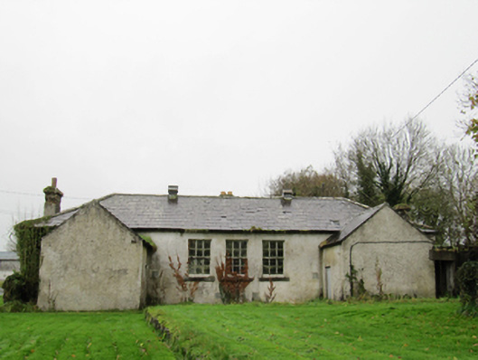 Clontuskert National Schoolschool · 1.5 mi
 Oghil Castle (in ruins)Castle, tower house · 1.7 mi
 Ballymore CastleCastle, tower house · 2.3 mi
 Ardcarn IslandsIslet · 3.8 mi
 Redmond HillMountain / peak · 3.9 mi
 Urraghry HillMountain / peak · 4.1 mi
 The bloody HollowHeritage attraction · 4.4 mi
Other information
Photo: Credit not shown in the picture search · Rights wording not checked; contact us if this picture should be removed