What is recorded here
Gannaveen holds three faded ringforts, including the main 34m circle and two neighbours within 300m. That is a small cluster, not a lonely mark. Candlelit carts, child voices, lost marriages and ordinary weeks may have filled them before memory left. The earth keeps only a shallow arc now, but proximity still proves the valley once belonged to people.
In gently undulating pastureland, a N flowing stream is visible to the W. This very poorly preserved circular rath (diam. 34m) is defined by scarp (max. H 1.1m). Two other raths (GA100-090---- and GA100-091----) lie c. 200m to the N and c. 300m to the NE respectively.
Compiled by: Galway Archaeological Survey, UCG
Date of upload: 14 February 2019
The monument record does not grant public access. Check the route and ask the landowner before entering private land.
- What survives
- Recorded monument
Places near here
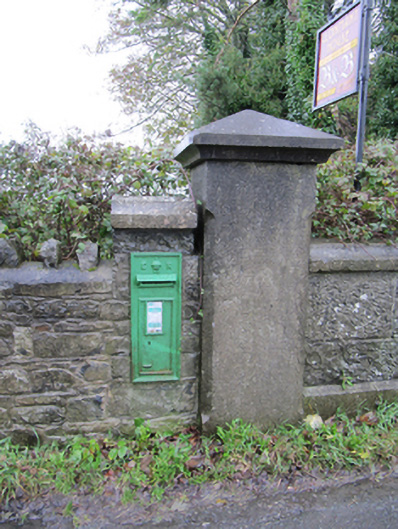 post boxpost box · 1183 yd
 IndicatedHouse, vernacular house · 1240 yd
 Enclosure in Ballymanagh (longford By.)Enclosure · 1305 yd
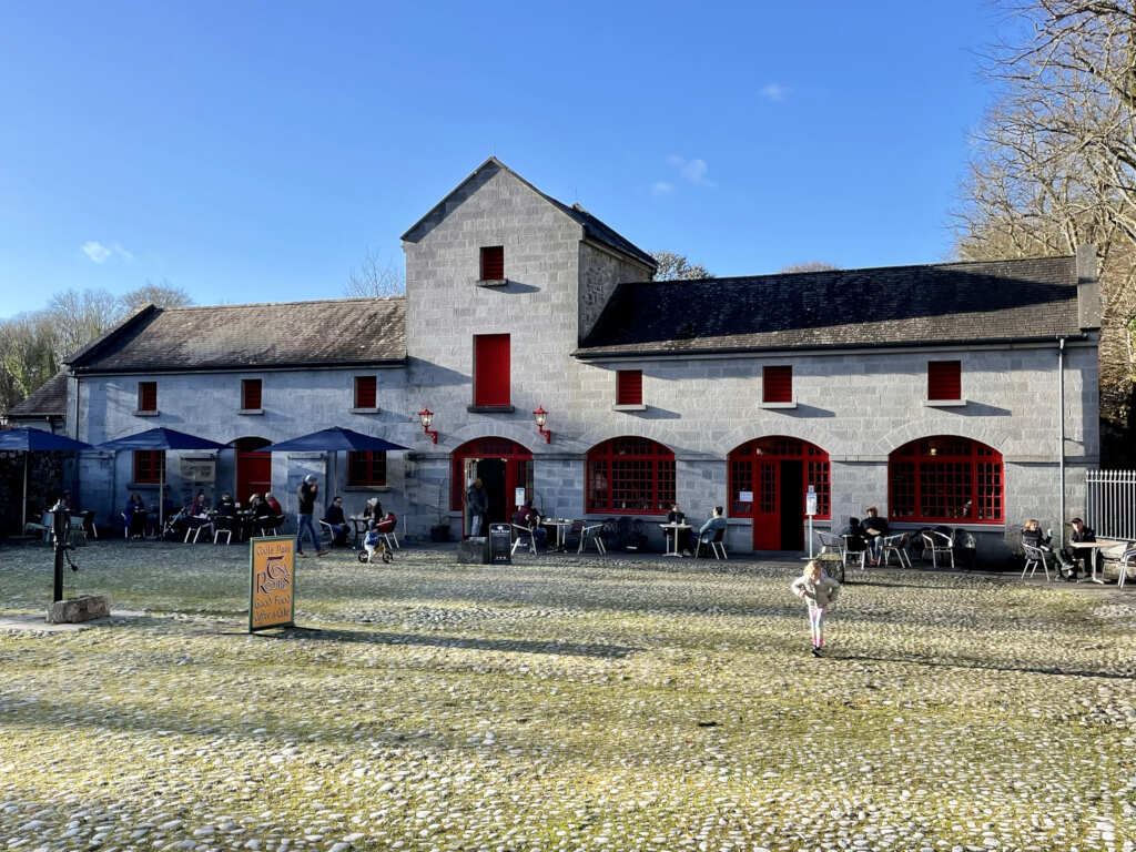 Caltraghgarraun FortFairy fort / earthen ringfort · 1374 yd
 Oghil Castle (in ruins)Castle, tower house · 1.4 mi
 European BeechEuropean Beech · 1.6 mi
 European YewEuropean Yew · 1.8 mi
 Ballagh Castle (in Ruins)Castle, unclassified · 2.6 mi
 Ardcarn IslandsIslet · 2.9 mi
 Redmond HillMountain / peak · 3.9 mi
 Urraghry HillMountain / peak · 3.9 mi
 The bloody HollowHeritage attraction · 4.4 mi