
What is recorded here
In level pasture. Slight visible surface trace of levelled enclosure. Circular area (dims. c. 26m N-S; c. 28m E-W) defined by slightly raised circular interior enclosed by shallow fosse (Wth c. 4m; D c. 0.3m) SE-S-W-NE. Identified on 1905 ed. map as 'Lisgibbon'. Enclosure (TS068-040----) located c. 650m NNE; possible Enclosure (TS068-138----) located c. 700m SE.
Compiled by: Jean Farrelly
Date of upload: 26 August 2011
The monument record does not grant public access. Check the route and ask the landowner before entering private land.
- What survives
- Recorded monument
Places near here
 RathgallenFairy fort / earthen ringfort · 997 yd
 RathcooleFairy fort / earthen ringfort · 1417 yd
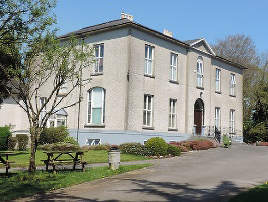 Cuan Mhuirecountry house · 1536 yd
 New Bridgebridge · 1608 yd
 Suir CastleCastle · 1.4 mi
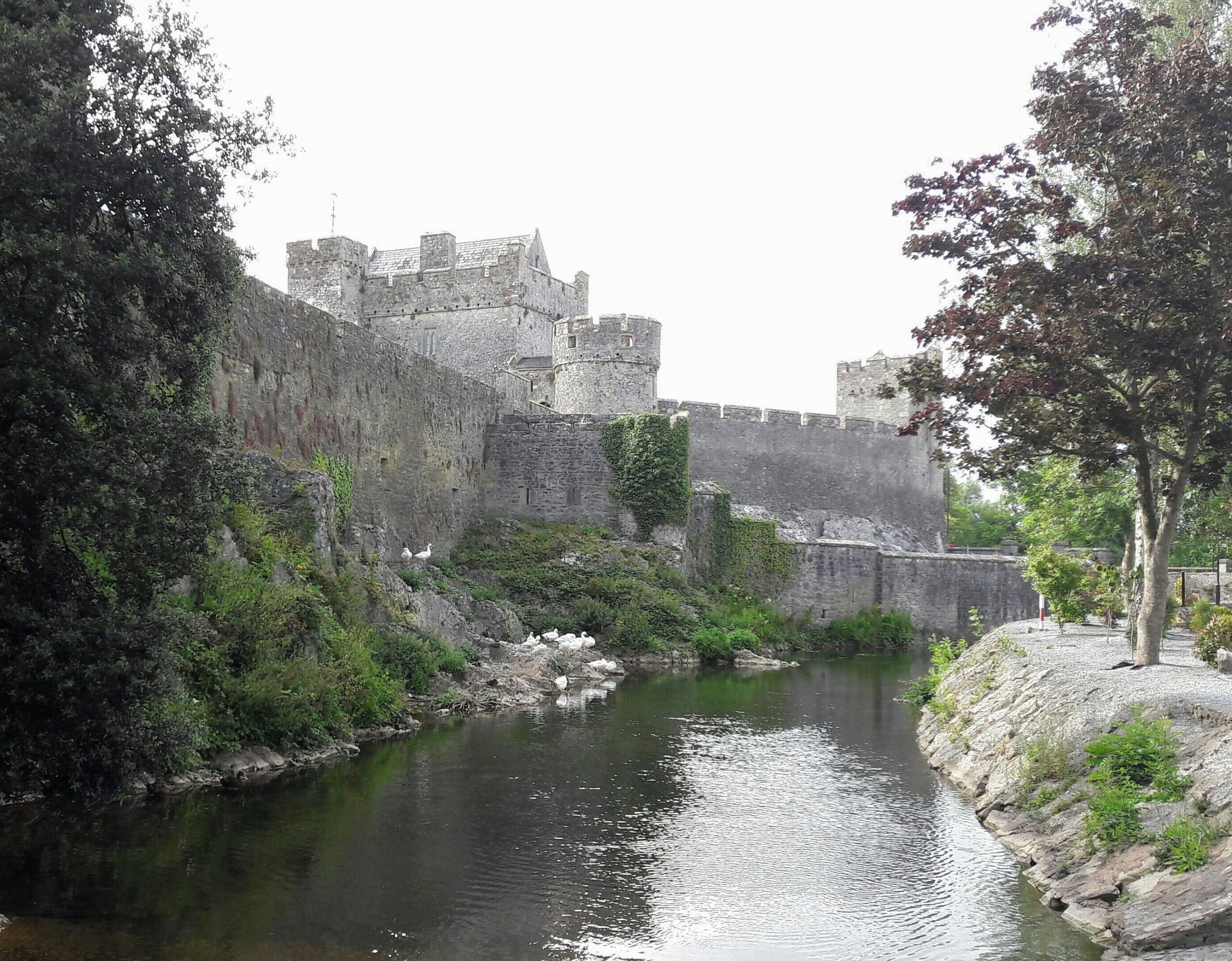 Ballymacady CastleCastle · 1.7 mi
 Athassel PrioryHeritage attraction · 2.3 mi
 Caucasian zelkovaCaucasian zelkova · 3.0 mi
 Pedunculate OakPedunculate Oak · 3.1 mi
 Slieveanard NE TopMountain / peak · 4.4 mi
 SturrakeenMountain / peak · 4.6 mi
 Caher AbbeyHeritage attraction · 6.2 mi
Other information
Photo: Credit not shown in the picture search · Rights wording not checked; contact us if this picture should be removed