What is recorded here
Beallacarrin in Ballycarron, County Tipperary, is where a castle once stood before it was lost to the riverbank. James Earle of Ormond held the land when it vanished, leaving behind only a castle bottom and a house that never claimed its bones. The water took the walls, the years took the name, and the field kept the shape of what it swallowed.
According to the Civil Survey (1654-6) in 'Beallacarrin' there is on this land the bottom of a demolished castle by the River Shewir' (Simington 1934, vol. 2, 7) which in 1640 was under the proprietorship of James Earle of Ormond. It was speculated that this house might be 'Ballycarron House' as depicted on the 1st (1840) ed. OS 6-inch map. However, Ballycarron House is of late 18th/early 19th-century date and the house, together with the outbuildings and walled garden, does not appear to incorporate any earlier features. The castle is unlocated within the townland of Ballycarron.
Compiled by: Jean Farrelly
Date of upload: 26 August 2011
James Earle held the site of Castle Ballycarron by 1640; it was later described as a demolished castle in the 1654–56 Civil Survey. Its mention in early land surveys highlights its role in 17th-century land ownership and conflict in the region.
The monument record does not grant public access. Check the route and ask the landowner before entering private land.
- What survives
- Recorded monument
Places near here
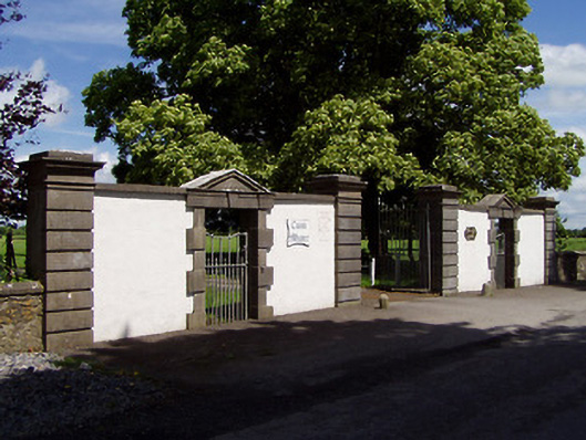 Cuan Mhuiregates/railings/walls · 862 yd
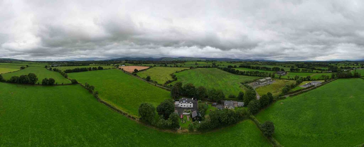 Enclosure in Lagganstown LowerEnclosure · 1021 yd
 Enclosure in Grange SouthEnclosure · 1251 yd
 New Bridgebridge · 1.0 mi
 CastleCastle, unclassified · 1.0 mi
 Castle in ruins)Castle, unclassified · 1.4 mi
 Caucasian zelkovaCaucasian zelkova · 2.5 mi
 Cappa WoodWood · 3.1 mi
 Slieveanard NE TopMountain / peak · 3.9 mi
 SlieveanardMountain / peak · 4.4 mi
 Caher AbbeyHeritage attraction · 5.2 mi
 Siege of Cahir Castlesiege · 5.4 mi