What is recorded here
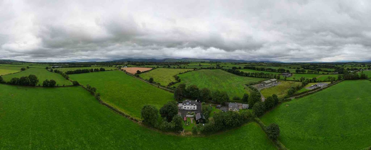
In level pasture, on upper edge of a steep SW-facing slope. Stream to NW and drain to SW. Levelled monument - virtually no visible surface trace. Sub-rectangular in shape on 1st (1840) and 2nd (1900-05) OS 6-inch map. According to landowner, enclosure was levelled c. 20 years ago when land was reclaimed and field boundaries were knocked. Enclosure (TS068-073----) located c. 270m to NW.
Compiled by: Jean Farrelly
Date of upload: 26 August 2011
The monument record does not grant public access. Check the route and ask the landowner before entering private land.
- What survives
- Recorded monument
Places near here
 CastleCastle, unclassified · 999 yd
 Site of ChurchChurch · 1015 yd
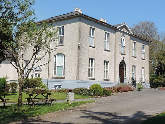 Cuan Mhuirecountry house · 1621 yd
 Field system in BallyslatteenField system · 1654 yd
 Suircastle Househouse · 1726 yd
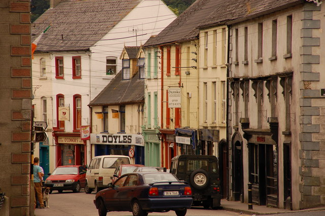 Bawn in Lagganstown UpperBawn · 1.1 mi
 Athassel PrioryHeritage attraction · 2.1 mi
 Caucasian zelkovaCaucasian zelkova · 2.8 mi
 Cappa WoodWood · 3.4 mi
 Slieveanard NE TopMountain / peak · 4.2 mi
 SlieveanardMountain / peak · 4.8 mi
 Caher AbbeyHeritage attraction · 5.2 mi
Other information
Photo: Credit not shown in the picture search · Rights wording not checked; contact us if this picture should be removed