
What is recorded here
In level pasture. Levelled, with slight surface trace. Roughly circular area (dims. c. 30m N-S; c. 40m c. E-W) defined by remains of low earthen bank (Wth c. 5.6m; int. H c. 0.2m; ext. H c. 0.45m). Interior slopes down gently from interior of bank into slight depression in centre. Entrance not visible. Possible Enclosure (TS068-139----) located c. 400m to W.
Compiled by: Jean Farrelly
Date of upload: 26 August 2011
The monument record does not grant public access. Check the route and ask the landowner before entering private land.
- What survives
- Recorded monument
Places near here
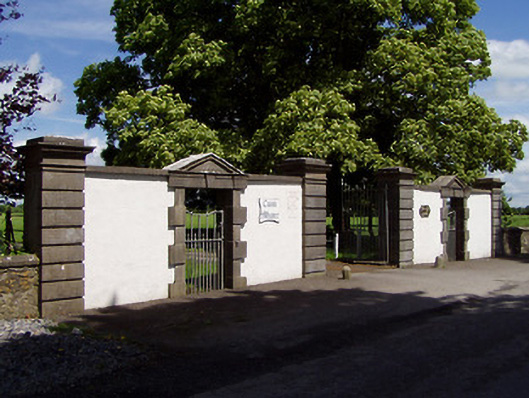 Cuan Mhuiregates/railings/walls · 936 yd
 Clonbulloge Church (in ruins)Church · 1070 yd
 LisgibbonEnclosure · 1483 yd
 Man-made underground passage in Ballygorteen (clonbullogue Par.)Man-made underground passage · 1542 yd
 Castle in ruins)Castle, unclassified · 1.6 mi
 CastleCastle, unclassified · 1.7 mi
 Caucasian zelkovaCaucasian zelkova · 2.3 mi
 Pedunculate OakPedunculate Oak · 2.7 mi
 Slieveanard NE TopMountain / peak · 3.7 mi
 SlieveanardMountain / peak · 4.0 mi
 Caher AbbeyHeritage attraction · 5.3 mi
 Siege of Cahir Castlesiege · 5.5 mi
Other information
Photo: Credit not shown in the picture search · Rights wording not checked; contact us if this picture should be removed