
What is recorded here
Seven-arch humpbacked bridge carrying road over the River Finn, built c. 1801, having five arches over river and two dry arches to the south end. V-profile rubble stone cutwaters to piers on both the upstream and downstream elevations. Segmental-headed arches having roughly squared rubble stone voussoirs, rubble stone construction to arch barrels. Rubble stone construction to piers and spandrels; rubble stone construction to parapets with rubble stone soldier coping over. Modern concrete under pining to piers, modern cement repairs to parapets in places. Rubble stone wing walls to the south having two small segmental-headed arches with rubble stone voussoirs. Wing walls to south step out from bridge parapets. Further small segmental-headed arch to the south having rubble stone voussoirs. Tarmacadam deck with grass verges. Located to the south of Liscooly.
This impressive and elegant humpbacked multi-arched road bridge retains its early character and form, and is an appealing feature in the rural landscape to the south of Liscooly. It is robustly-constructed in local rubble stone masonry, and its continued survival and use stands as testament to the quality of its original construction. The wide segmental-headed arches and thin piers with V-shaped cutwaters demonstrate a sophisticated level of design and engineering can are clearly the work of skilled masons. The Ordnance Survey Memoirs of 1836 records that Liscooly Bridge was ‘built in the year 1801 at the expense of about £1,100 pounds, raised by Grand Jury assessment. It has five water arches and two land ones to increase the waterway in time of floods’. It is possible that this bridge may contain earlier fabric although no bridge is depicted on Taylor and Skinner road map of 1777-83. It spans the site of an historic strategic fording point of the River Finn. Set in an idyllic location along the Finn Valley, this noteworthy bridge is an integral element of the built heritage and transport history of the local area, and is a feature of some aesthetic quality in the rural landscape to the south of Liscooly. It is one of a number of fine bridges that span the River Finn in Donegal.
This does not grant access. Most recorded buildings are privately owned; view them only from public ground unless the owner allows entry.
Places near here
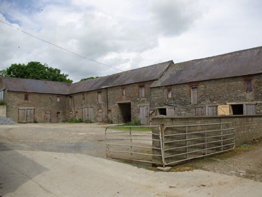 Berwick Halloutbuilding · 310 yd
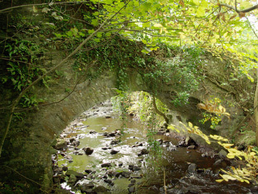 bridgebridge · 507 yd
 Holy WellHoly well · 1418 yd
 Enclosure in TiriniskEnclosure · 1.4 mi
 Site of CastleCastle, unclassified · 1.5 mi
 CastleCastle, unclassified · 2.0 mi
 Carnowen HillMountain / peak · 2.4 mi
 BATTLE SITE: in 789 AD & BATTLE OF THE FORDS , Southern crossing, 1689 in Clady; DonnygowanBATTLE SITE: in 789 AD & BATTLE OF THE FORDS , Southern crossing, 1689 · 3.9 mi
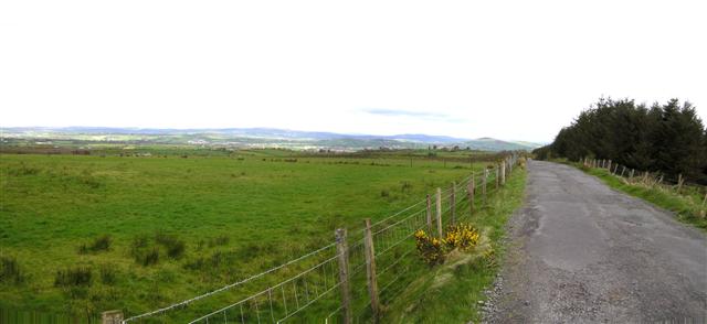 Fearn HillMountain / peak · 4.5 mi
 Battle of Scarrifholisbattle · 11 mi
 Newmills Corn and Flax MillsHeritage attraction · 11 mi
 Killeter ForestForest · 12 mi
Other information
Photo: Willie Duffin · Creative Commons Attribution-ShareAlike 2.0