What is recorded here
Dungorman is a quiet pasture sloping toward the River Finn where a standing stone once broke the horizon but no longer exists. Men dug test pits in 2005 to clear ground for a house and found only ordinary soil, proving the stone had vanished before modern tools reached the place. Map makers marked it, surveyors described it, and residents probably passed it for generations, yet human activity or time removed it completely. The absence is sharper than a ruined stone because even the hole is gone.
There is no trace of the 'Standing Stone' marked on the 2nd and 3rd editions of the OS 6-inch map. Situated on good pasture land sloping gently down N to the River Finn. Archaeological testing (05E0306) in 2005 in advance of house construction revealed no trace of the stone.
The above description was derived from the 'Archaeological Survey of County Donegal. A description of the field antiquities of the County from the Mesolithic Period to the 17th century.' Compiled by: Brian Lacey with Eamon Cody, Claire Cotter, Judy Cuppage, Noel Dunne, Vincent Hurley, Celie O'Rahilly, Paul Walsh and Seán Ó Nualláin (Lifford: Donegal County Council, 1983). In certain instances the entries have been revised and updated.
Date of upload: 22 September 2008
This remains an important historical record, but the official description says the monument is no longer visible or has been destroyed. The monument record does not grant public access. Check the route and ask the landowner before entering private land.
- What survives
- No visible remains or recorded as destroyed
Places near here
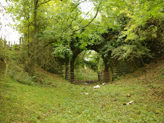 bridgebridge · 1288 yd
 Holy WellHoly well · 1344 yd
 Liscooly Bridgebridge · 1432 yd
 Enclosure in TiriniskEnclosure · 1653 yd
 CastleCastle, unclassified · 1.5 mi
 OutlinedBawn · 1.7 mi
 Carnowen HillMountain / peak · 2.6 mi
 BATTLE SITE: in 789 AD & BATTLE OF THE FORDS , Southern crossing, 1689 in Clady; DonnygowanBATTLE SITE: in 789 AD & BATTLE OF THE FORDS , Southern crossing, 1689 · 3.2 mi
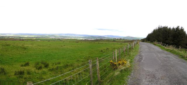 Fearn HillMountain / peak · 3.7 mi
 Killeter ForestForest · 12 mi
 Battle of Scarrifholisbattle · 12 mi
 Newmills Corn and Flax MillsHeritage attraction · 12 mi