What is recorded here
Survives as a section of townland boundary between Slade and Crooksling. It runs along the crest of land that falls away to the NW, overlooking Saggart Village. Comprises a bank with contiguous internal and external fosse. The bank is flat-topped (H 1m-1.10m, Wth 5m). The internal fosse is largely silted up (Wth 1.50m, D 0.30m-0.40m) whereas the external fosse is overgrown (Wth 3m, D 0.50m). This feature has been interpreted as a medieval boundary to Saggart Commons (Ua Broin 1957, 39-41).
Survives as a section of townland boundary between Slade and Crooksling. It runs along the crest of land that falls away to the NW, overlooking Saggart Village. Comprises a bank with contiguous internal and external fosse. The bank is flat-topped (H 1m-1.10m, Wth 5m). The internal fosse is largely silted up (Wth 1.50m, D 0.30m-0.40m) whereas the external fosse is overgrown (Wth 3m, D 0.50m). This feature has been…
From the National Monuments Service (Archaeological Survey of Ireland) record DU021-050
The monument record does not grant public access. Check the route and ask the landowner before entering private land.
- What survives
- Recorded monument
Places near here
Photo credits
- National Inventory of Architectural Heritage
- Mike Searle, Geograph · CC BY-SA 2.0
- Colin Park, Geograph · CC BY-SA 2.0
- Sitomon, Wikimedia Commons · CC BY-SA 2.0
- JP, Geograph · CC BY-SA 2.0
CairnCairn, unclassified · 480 ydIndicatedHoly well · 622 yd farmyard complex649 ydVerschoyle's HillMountain / peak · 705 ydfarmyard complex923 ydCastleCastle, tower house · 1587 ydRathcoole WoodlandWood · 1.2 miMeadow WildlifeVisitor information · 1.3 miCastleCastle, tower house · 3.5 miCupidstown HillMountain / peak · 3.6 miEuropean Yew3.6 miGrand Canal WayWalking route · 4.3 mi
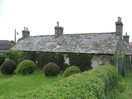 farmyard complex649 ydVerschoyle's HillMountain / peak · 705 yd
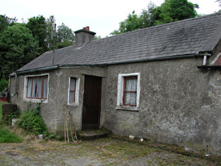 farmyard complex923 ydCastleCastle, tower house · 1587 ydRathcoole WoodlandWood · 1.2 miMeadow WildlifeVisitor information · 1.3 mi
 CastleCastle, tower house · 3.5 mi
 Cupidstown HillMountain / peak · 3.6 mi
 European Yew3.6 mi
 Grand Canal WayWalking route · 4.3 mi
More archaeology and monuments in County Dublin · All of County Dublin
What do you know about this place?