What is recorded here
St. Senan's Well in the parish of Saggart, is a natural spring well on W side of Slade river valley. Annotated 'Well' on the 1863 ed. OSi 25-inch map. Dedicated to St. Senan (Ó Danachair 1958, 83). Folklore collected from Saggart School recorded the following details about this well; 'There are two holy wells in our parish. St. Patrick's well and Tobar Senan. There is a well about a mile from Saggart. It is in the Slade. It is called Tobar Senan. People use the water of this well for churning. It is said that it is lucky water for making butter' (The Schools’ Collection, Volume 0793, Pages 5-6; https://www.duchas.ie/en/cbes/4428211/4386326/4450322). Another story collected from Saggart School about this well recorded that; 'There are three holy wells near the village of Saggart. These are called St. Patrick's Well [DU021-045----], Tobar Seanáin and Tobar Moling [DU021-051----]. Tobar Seanáin is situated in the townland of Saggart. It is out in a field. Toothache is said the be cured in it. The water is still used for household use. Farmers use it for the making of butter. They say that the butter tastes much nicer when made from this water' (The Schools’ Collection, Volume 0793, Pages 3-4; https://www.duchas.ie/en/cbes/4428211/4386304). Folklore collected from Saggart School recorded that; 'Tobar Seanán is situated about a mile from the village of Saggart. It is in a field (Byrne's field) with a stone covering it' (The Schools’ Collection, Volume 0793, Page 33; https://www.duchas.ie/en/cbes/4428211/4386297/4450347).
St. Senan's Well in the parish of Saggart, is a natural spring well on W side of Slade river valley. Annotated 'Well' on the 1863 ed. OSi 25-inch map. Dedicated to St. Senan (Ó Danachair 1958, 83). Folklore collected from Saggart School recorded the following details about this well; 'There are two holy wells in our parish. St. Patrick's well and Tobar Senan. There is a well about a mile from Saggart. It is in…
From the National Monuments Service (Archaeological Survey of Ireland) record DU021-043
The monument record does not grant public access. Check the route and ask the landowner before entering private land.
- What survives
- Recorded monument
Places near here
Photo credits
- National Inventory of Architectural Heritage
- Mike Searle, Geograph · CC BY-SA 2.0
- Sitomon, Wikimedia Commons · CC BY-SA 2.0
- Colin Park, Geograph · CC BY-SA 2.0
- JP, Geograph · CC BY-SA 2.0
Linear earthwork in Crooksling,sladeLinear earthwork · 622 yd farmyard complex666 ydbridge673 ydSt. Patricks WellHoly well · 812 ydCastleCastle, tower house · 968 ydVerschoyle's HillMountain / peak · 1323 ydRathcoole WoodlandWood · 1544 ydMeadow WildlifeVisitor information · 1742 ydCastleCastle, tower house · 3.2 miEuropean Yew3.3 miCupidstown HillMountain / peak · 3.7 miGrand Canal WayWalking route · 4.0 mi
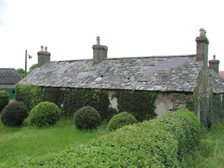 farmyard complex666 yd
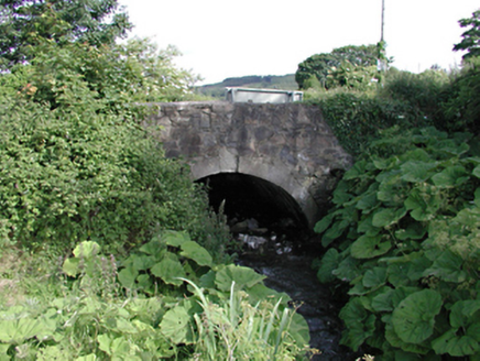 bridge673 ydSt. Patricks WellHoly well · 812 ydCastleCastle, tower house · 968 ydVerschoyle's HillMountain / peak · 1323 ydRathcoole WoodlandWood · 1544 ydMeadow WildlifeVisitor information · 1742 yd
 CastleCastle, tower house · 3.2 mi
 European Yew3.3 mi
 Cupidstown HillMountain / peak · 3.7 mi
 Grand Canal WayWalking route · 4.0 mi
More archaeology and monuments in County Dublin · All of County Dublin
What do you know about this place?