What is recorded here
Situated on the E side of the Slade Valley. The land, which is fern covered, falls away steeply to the WNW. Cairn mentioned by Ua Broin (1957, 44). There are no visible surface remains above ground.
From the National Monuments Service (Archaeological Survey of Ireland) record DU021-049
The monument record does not grant public access. Check the route and ask the landowner before entering private land.
- What survives
- Recorded monument
Places near here
Photo credits
- National Inventory of Architectural Heritage
- Colin Park, Geograph · CC BY-SA 2.0
- Mike Searle, Geograph · CC BY-SA 2.0
- Sitomon, Wikimedia Commons · CC BY-SA 2.0
- JP, Geograph · CC BY-SA 2.0
Linear earthwork in Crooksling,sladeLinear earthwork · 480 ydVerschoyle's HillMountain / peak · 547 ydBarrowBarrow, ring-barrow · 553 yd farmyard complex1085 ydfarmyard complex1128 ydCastleCastle, tower house · 1.1 miRathcoole WoodlandWood · 1.2 miMeadow WildlifeVisitor information · 1.5 miCupidstown HillMountain / peak · 3.3 miCastleCastle, tower house · 3.5 miEuropean Yew3.6 miGrand Canal WayWalking route · 4.4 mi
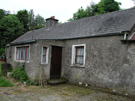 farmyard complex1085 yd
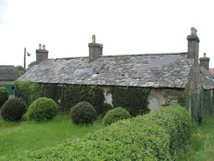 farmyard complex1128 ydCastleCastle, tower house · 1.1 miRathcoole WoodlandWood · 1.2 miMeadow WildlifeVisitor information · 1.5 mi
 Cupidstown HillMountain / peak · 3.3 mi
 CastleCastle, tower house · 3.5 mi
 European Yew3.6 mi
 Grand Canal WayWalking route · 4.4 mi
More archaeology and monuments in County Dublin · All of County Dublin
What do you know about this place?