What is recorded here
Situated on the summit of the Verschoyles Hill. A ring- barrow shown on the 1843 OS 6-inch map as a hachured enclosure (diam. c. 37m). It was described by Ua Broin (1957, 43) as a low rath, enclosing a very small circle somewhat higher than the outer one and close to the S side of the latter. The site was ploughed and planted with trees in 1965 (Healy 1975, 1-19). This area is referred to in the OS Letters (1837) as 'Lauree' or 'Lathair na Riogh' on Saggart Hill (O'Flanagan 1927, 22).
Situated on the summit of the Verschoyles Hill. A ring- barrow shown on the 1843 OS 6-inch map as a hachured enclosure (diam. c. 37m). It was described by Ua Broin (1957, 43) as a low rath, enclosing a very small circle somewhat higher than the outer one and close to the S side of the latter. The site was ploughed and planted with trees in 1965 (Healy 1975, 1-19). This area is referred to in the OS Letters (1837)…
From the National Monuments Service (Archaeological Survey of Ireland) record DU024-010
The monument record does not grant public access. Check the route and ask the landowner before entering private land.
- What survives
- Recorded monument
Places near here
Photo credits
- National Inventory of Architectural Heritage
- Jonathan Billinger, Geograph · CC BY-SA 2.0
- Colin Park, Geograph · CC BY-SA 2.0
- Mike Searle, Geograph · CC BY-SA 2.0
- Sitomon, Wikimedia Commons · CC BY-SA 2.0
- JP, Geograph · CC BY-SA 2.0
BarrowBarrow, ring-barrow · 402 ydCairnCairn, unclassified · 553 yd farmyard complex669 ydfarmyard complex1222 ydCastleCastle, tower house · 1.3 miRathcoole WoodlandWood · 1.5 miMeadow WildlifeVisitor information · 1.7 miBlack HillMountain / peak · 2.6 miCupidstown HillMountain / peak · 3.3 miCastleCastle, tower house · 3.9 miEuropean Yew3.9 miGrand Canal WayWalking route · 4.7 mi
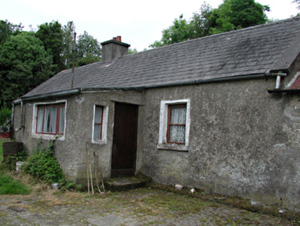 farmyard complex669 yd
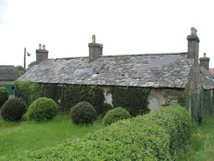 farmyard complex1222 ydCastleCastle, tower house · 1.3 miRathcoole WoodlandWood · 1.5 miMeadow WildlifeVisitor information · 1.7 mi
 Black HillMountain / peak · 2.6 mi
 Cupidstown HillMountain / peak · 3.3 mi
 CastleCastle, tower house · 3.9 mi
 European Yew3.9 mi
 Grand Canal WayWalking route · 4.7 mi
More archaeology and monuments in County Dublin · All of County Dublin
What do you know about this place?