What is recorded here
Situated at the summit of a narrow elongated ridge on the lower SE slopes of the Verschoyles Hill, enjoying extensive views of Tallaght and Lugmore to the N and Seahan Mountain to the E. A ring-barrow initially discovered from aerial photographs taken by BKS in 1978 (2776052/3). It comprises a circular raised area (int. diam. 19m) defined by an earthen bank (Wth 2m; H 0.3m) and inner silted-up fosse (Wth 1.5m; D 0.15m). The bank is very denuded in the W but well preserved in the N and there are breaks at NE, E, and S. Within the interior in the SW and E are a number of furze-covered clumps that may indicate a stone feature. In the SE there is a single boulder (L 0.55m; Wth 0.36m; D 0.3m).
Situated at the summit of a narrow elongated ridge on the lower SE slopes of the Verschoyles Hill, enjoying extensive views of Tallaght and Lugmore to the N and Seahan Mountain to the E. A ring-barrow initially discovered from aerial photographs taken by BKS in 1978 (2776052/3). It comprises a circular raised area (int. diam. 19m) defined by an earthen bank (Wth 2m; H 0.3m) and inner silted-up fosse (Wth 1.5m; D…
From the National Monuments Service (Archaeological Survey of Ireland) record DU024-011
The monument record does not grant public access. Check the route and ask the landowner before entering private land.
- What survives
- Recorded monument
Places near here
Photo credits
- National Inventory of Architectural Heritage
- Jonathan Billinger, Geograph · CC BY-SA 2.0
- Colin Park, Geograph · CC BY-SA 2.0
- Mike Searle, Geograph · CC BY-SA 2.0
- Sitomon, Wikimedia Commons · CC BY-SA 2.0
- JP, Geograph · CC BY-SA 2.0
BarrowBarrow, ring-barrow · 402 ydBarrowBarrow, ring-barrow · 476 yd farmyard complex548 ydfarmyard complex1426 ydCastleCastle, tower house · 1.5 miGraveyard in BallymanaGraveyard · 1.7 miRathcoole WoodlandWood · 1.8 miBlack HillMountain / peak · 2.4 miCupidstown HillMountain / peak · 3.4 miCastleCastle, tower house · 4.1 miEuropean Yew4.2 miGrand Canal WayWalking route · 4.9 mi
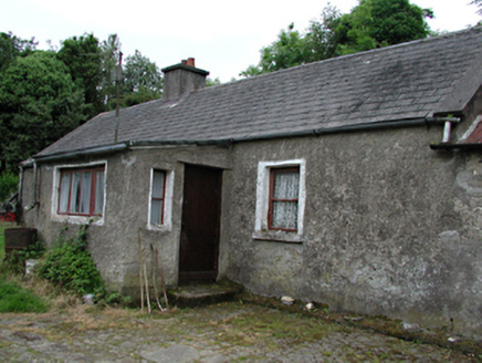 farmyard complex548 yd
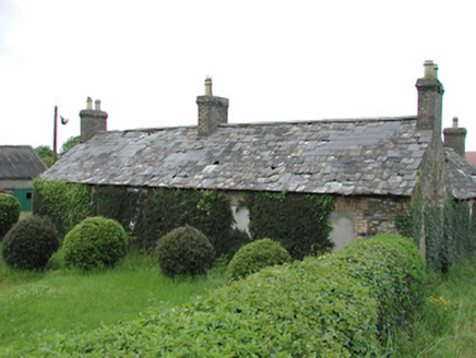 farmyard complex1426 ydCastleCastle, tower house · 1.5 miGraveyard in BallymanaGraveyard · 1.7 miRathcoole WoodlandWood · 1.8 mi
 Black HillMountain / peak · 2.4 mi
 Cupidstown HillMountain / peak · 3.4 mi
 CastleCastle, tower house · 4.1 mi
 European Yew4.2 mi
 Grand Canal WayWalking route · 4.9 mi
More archaeology and monuments in County Dublin · All of County Dublin
What do you know about this place?