
What is recorded here
Raised circular area (int. dims. 39.2m NNW-SSE; 38.2m ENE-WSW) enclosed by a substantial earthen bank and a wide, deep fosse which has been infilled from E-S-SSW. Wide break in bank at ESE may represent original entrance. Densely overgrown with vegetation.
The above description is derived from the published 'Archaeological Inventory of County Cavan' (Dublin: Stationery Office, 1995). In certain instances the entries have been revised and updated in the light of recent research.
Date of upload/revision: 22 December 2008
Lavey Fort is a circular early-medieval ringfort, likely dating to between the 5th and 10th centuries, characterized by a raised central area, a substantial earthen bank, and a partially infilled fosse. Local folklore, common to many such sites in Ireland, associates it with the fairies, and it may have been known as a "fairy fort," believed to be a dwelling place of supernatural beings.
The monument record does not grant public access. Check the route and ask the landowner before entering private land.
- What survives
- Recorded monument
Places near here
 Ancient Order of Hibernians MemorialMemorial · 473 yd
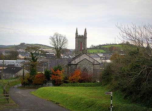 IndicatedHoly well · 484 yd
 Site of Saint Davnet's ChapelArchaeological place · 501 yd
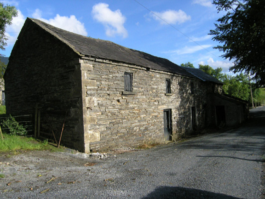 mill (water)mill (water) · 521 yd
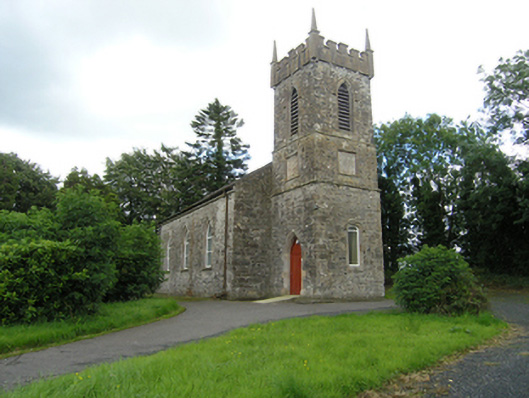 Lavey Church of Ireland Churchchurch/chapel · 627 yd
 To The Memory of P.J. DukeMemorial · 1.2 mi
 Killymeehan ForestForest · 1.5 mi
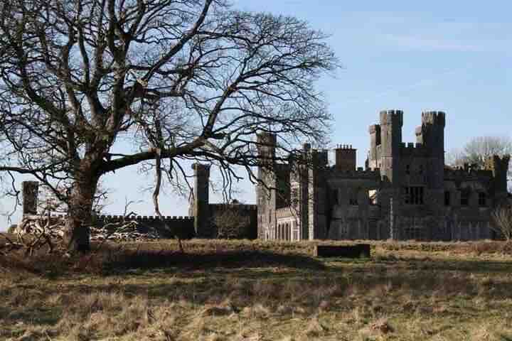 RavenswoodForest · 2.0 mi
 Aghalackan EastMountain / peak · 2.1 mi
 AghadreenaghMountain / peak · 2.2 mi
 Raven's RockNamed rock · 2.8 mi
 Carricknagore RockNamed rock · 4.1 mi
Other information
Photo: Credit not shown in the picture search · Rights wording not checked; contact us if this picture should be removed