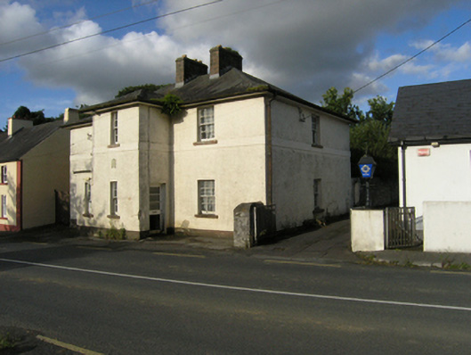
What is recorded here
Detached three-bay two-storey Garda Síochána station, surveyed 1925; built 1926, on a cruciform plan centred on single-bay two-storey projecting breakfront; single-bay (single-bay deep) two-storey central return (east). Closed, 2002. Now disused. Hipped slate roof on a cruciform plan with ridge tiles, paired red brick Running bond central chimney stacks having stringcourses below capping supporting terracotta pots, and cast-iron rainwater goods on sprocketed overhanging eaves retaining cast-iron downpipes. Roughcast walls bellcast over rendered plinth with rendered stringcourse. Square-headed window openings (breakfront) with sills, and concealed dressings framing four-over-four timber sash windows. Square-headed opposing door openings with concealed dressings framing timber boarded or glazed timber panelled doors. Square-headed window openings with sills, and concealed dressings framing six-over-six timber sash windows. Street fronted.
A Garda Síochána station representing an integral component of the built heritage of Stradone with the architectural value of the composition, one most likely repurposing at least the shell of a constabulary barrack headed (1901; 1911) by Sergeant J.W. Quin (----) and Sergeant John O'Hara (----) respectively (NA 1901; NA 1911), suggested by such attributes as the compact cruciform plan form centred on an expressed breakfront; the somewhat disproportionate bias of solid to void in the massing compounded by the uniform or near uniform proportions of the openings on each floor with those openings showing conventional Georgian glazing patterns; and the slightly oversailing roofline.
This does not grant access. Most recorded buildings are privately owned; view them only from public ground unless the owner allows entry.
Places near here
 To The Memory of P.J. DukeMemorial · 148 yd
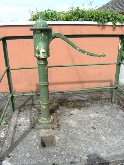 water pumpwater pump · 165 yd
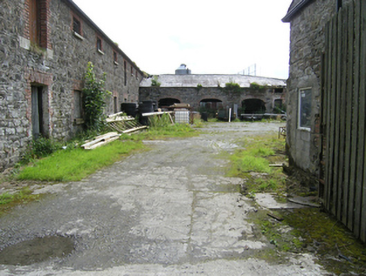 stablesstables · 295 yd
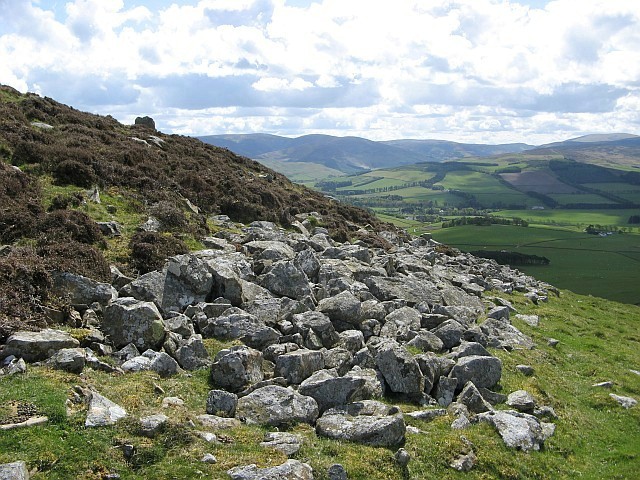 Black FortFairy fort / earthen ringfort · 495 yd
 Killymeehan ForestForest · 1307 yd
 Church (Site of)Church · 1464 yd
 Foundation Stone Blessed by Pope John Paul II 1979Memorial · 1.2 mi
 RavenswoodForest · 1.7 mi
 Aghalackan EastMountain / peak · 2.5 mi
 CliffernaMountain / peak · 2.9 mi
 Raven's RockNamed rock · 3.7 mi
 Bawn in MoynehallBawn · 4.8 mi
Other information
Photo: National Inventory of Architectural Heritage · Website use allowed for educational or private purposes with source credit