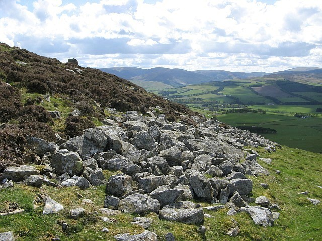
What is recorded here
Raised circular area (int. dims. 32m NNW-SSE; 29.5m ENE-WSW) enclosed by three low and much-denuded earthen banks with accompanying fosses, the outermost one of which may be modern. Breaks in the two inner banks with traces of a possible blocked-up break in the outer bank almost certainly represents original entrance. Site has been planted with trees.
The above description is derived from the published 'Archaeological Inventory of County Cavan' (Dublin: Stationery Office, 1995). In certain instances the entries have been revised and updated in the light of recent research.
Date of upload/revision: 22 December 2008
A local fairy fort (ringfort/rath); wider significance not recorded.
The monument record does not grant public access. Check the route and ask the landowner before entering private land.
- What survives
- Recorded monument
Places near here
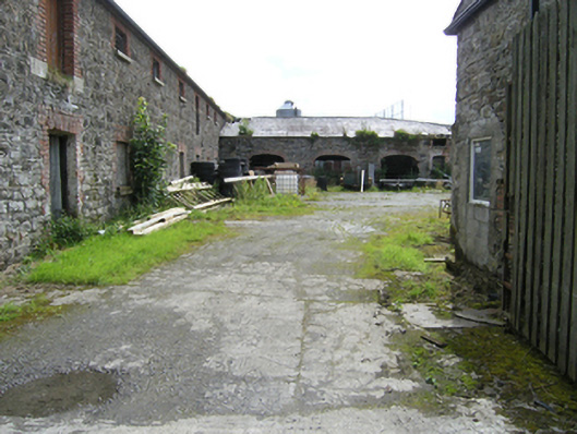 stablesstables · 452 yd
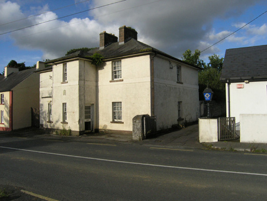 Stradone Garda Síochána Stationgarda station/constabulary barracks · 495 yd
 To The Memory of P.J. DukeMemorial · 496 yd
 Church (Site of)Church · 1405 yd
 Killymeehan ForestForest · 1.0 mi
 Ancient Order of Hibernians MemorialMemorial · 1.1 mi
 Lavey FortFairy fort / earthen ringfort · 1.1 mi
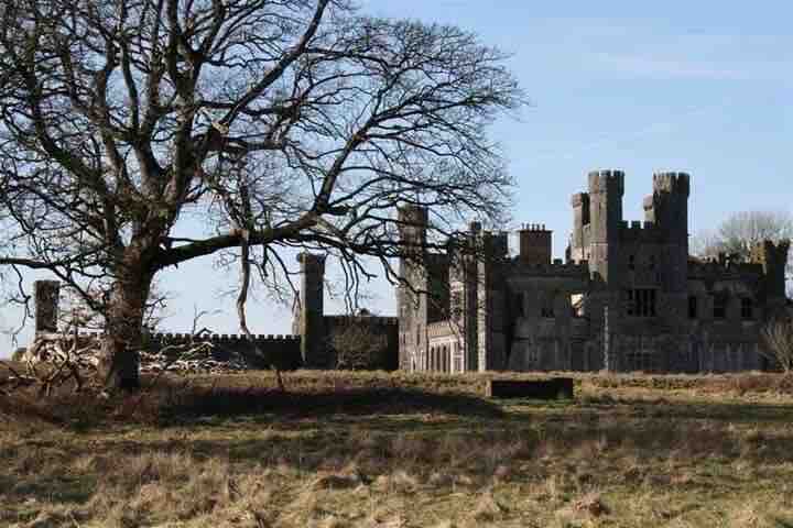 RavenswoodForest · 2.0 mi
 Aghalackan EastMountain / peak · 2.2 mi
 Aghalackan WestMountain / peak · 2.8 mi
 Raven's RockNamed rock · 3.8 mi
 Bawn in MoynehallBawn · 4.6 mi
Other information
Photo: Credit not shown in the picture search · Rights wording not checked; contact us if this picture should be removed