What is recorded here
Fairy fort in Cargagh, County Cavan: a raised circular area, about 25 metres across inside the bank, with a wide shallow fosse now largely infilled and cut through by a laneway from the north-east to south-south-east. The original entrance has disappeared, and a possible outer bank remains only a vague trace along the north, north-east and east. People may have lived, hidden or marked territory there before the road took the ditch; the earth still holds the shape of that forgotten use.
Raised circular area (int. diam. c. 25m) enclosed by a substantial earthen bank and a wide, shallow fosse which has been infilled throughout most of its course and replaced by a laneway from N-E-SSE. An earlier report (OPW 1974) recorded vague traces of a possible outer bank at the outer lip of the fosse from N-NE-E. Original entrance not recognisable.
The above description is derived from the published 'Archaeological Inventory of County Cavan' (Dublin: Stationery Office, 1995). In certain instances the entries have been revised and updated in the light of recent research.
Date of upload/revision: 22 December 2008
The monument record does not grant public access. Check the route and ask the landowner before entering private land.
- What survives
- Recorded monument
Places near here
 Site of Saint Davnet's ChapelArchaeological place · 1391 yd
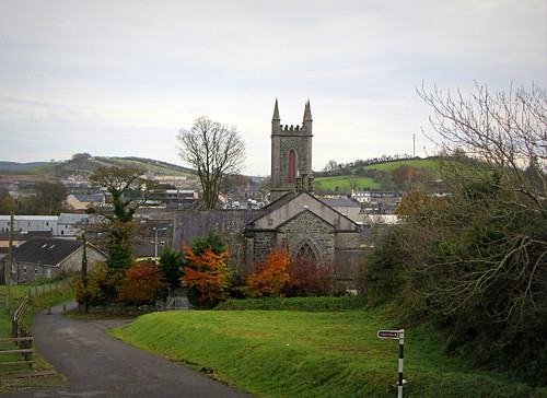 IndicatedHoly well · 1414 yd
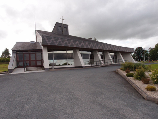 St Dymphna's Roman Catholic Churchchurch/chapel · 1415 yd
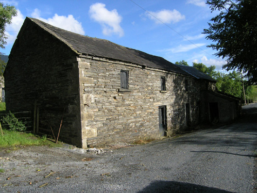 mill (water)mill (water) · 1546 yd
 Ancient Order of Hibernians MemorialMemorial · 1.0 mi
 AghadreenaghMountain / peak · 1.7 mi
 Aghalackan EastMountain / peak · 2.1 mi
 To The Memory of P.J. DukeMemorial · 2.2 mi
 Raven's RockNamed rock · 2.2 mi
 Killymeehan ForestForest · 2.4 mi
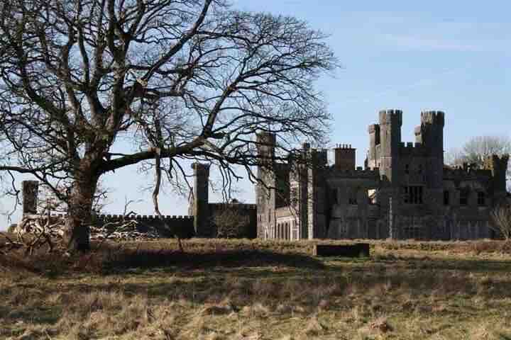 RavenswoodForest · 2.8 mi
 Carricknagore RockNamed rock · 3.6 mi