What is recorded here
Situated in the bed of the river, adjacent to St Dabnet's chapel (CV026-022001-). Deep oval-shaped hole (dims. 0.22m x 0.18m) which according to local tradition was formed by a horse's hoof (local information). One of the stations of the pilgrimage of St Dabnet.
From the National Monuments Service (Archaeological Survey of Ireland) record CV026-022003
The monument record does not grant public access. Check the route and ask the landowner before entering private land.
- What survives
- Recorded monument
Places near here
Photo credits
- National Inventory of Architectural Heritage
- Eric Jones, Geograph · CC BY-SA 2.0
- Deadstar, Wikimedia Commons · CC BY-SA 4.0
Site of Saint Davnet's ChapelArchaeological place · 24 yd mill (water)168 ydAncient Order of Hibernians MemorialMemorial · 369 ydSt Dymphna's Roman Catholic ChurchChurch/chapel · 619 ydTo The Memory of p.j. DukeMemorial · 1.4 miKillymeehan ForestForest · 1.8 miAghalackan EastMountain / peak · 1.9 miAghadreenaghMountain / peak · 2.2 miRaven's RockNamed rock · 2.8 miCormeen Glebe ForestForest · 3.1 miCarricknagore RockNamed rock · 3.9 miFin Mc Cools FingersStone row · 4.0 mi
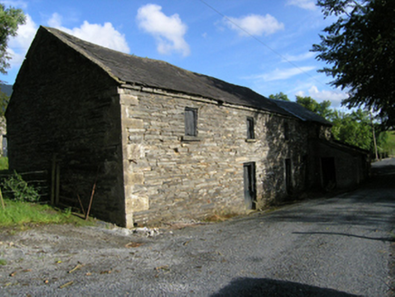 mill (water)168 ydAncient Order of Hibernians MemorialMemorial · 369 yd
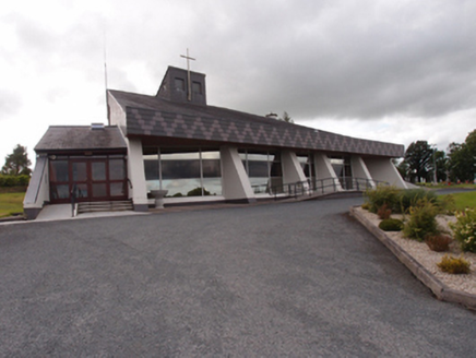 St Dymphna's Roman Catholic ChurchChurch/chapel · 619 ydTo The Memory of p.j. DukeMemorial · 1.4 miKillymeehan ForestForest · 1.8 miAghalackan EastMountain / peak · 1.9 miAghadreenaghMountain / peak · 2.2 miRaven's RockNamed rock · 2.8 mi
 Cormeen Glebe ForestForest · 3.1 miCarricknagore RockNamed rock · 3.9 mi
 Fin Mc Cools FingersStone row · 4.0 mi
More archaeology and monuments in County Cavan · All of County Cavan
What do you know about this place?