
What is recorded here
Five stones orientated NW-SE. Situated in a clearing within a modern plantation of coniferous trees, on the E shoulder of a high ridge in mountainous terrain. The stones are graded in height. The lowest (H c. 0.5m) is at the NW end with the tallest (H c. 2m) at the SE end. This is a National Monument in state care.
From the National Monuments Service (Archaeological Survey of Ireland) record CV021-073
The monument record does not grant public access. Check the route and ask the landowner before entering private land.
- What survives
- Recorded monument
Places near here
Vitrified FortHilltop enclosure · 374 ydVitrified FortArchaeological place · 384 yd St Patrick's Roman Catholic ChurchChurch/chapel · 960 ydCastleterra RectoryRectory/glebe/vicarage/curate's house · 1.1 miBillisMountain / peak · 2.0 miCorgarveMountain / peak · 2.1 miCastleCastle, unclassified · 2.2 miGarden IsleIslet · 2.4 miBallyhaise HouseCastle, unclassified · 2.5 miEuropean Beech2.9 miRambling at Farnham EstateVisitor information · 4.5 miCormeen Glebe ForestForest · 4.9 mi
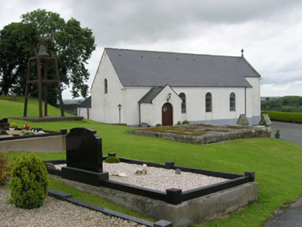 St Patrick's Roman Catholic ChurchChurch/chapel · 960 yd
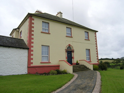 Castleterra RectoryRectory/glebe/vicarage/curate's house · 1.1 miBillisMountain / peak · 2.0 miCorgarveMountain / peak · 2.1 miCastleCastle, unclassified · 2.2 miGarden IsleIslet · 2.4 miBallyhaise HouseCastle, unclassified · 2.5 mi
 European Beech2.9 mi
 Rambling at Farnham EstateVisitor information · 4.5 mi
 Cormeen Glebe ForestForest · 4.9 mi
Pictures: National Inventory of Architectural Heritage; Malene Thyssen, Wikimedia Commons · CC BY-SA 3.0; Peter Gerken, Geograph · CC BY-SA 2.0; Eric Jones, Geograph · CC BY-SA 2.0
More archaeology and monuments in County Cavan · All of County Cavan
What do you know about this place?