
What is recorded here
From the National Monuments Service (Archaeological Survey of Ireland) record TS045-014
Places near here
Photo credits
- National Inventory of Architectural Heritage
- Maker not stated on source page, www.interment.net
- Maker not stated on source page, old.sermitsiaq.ag
- Garry Dickinson, Geograph · CC BY-SA 2.0
- Maker not stated on source page, www.pinterest.com
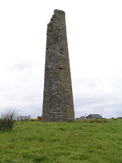 Hollyford Copper MinesChimney · 1.1 mi
Explorer Tom Hollyford Copper Mines has a fairy dispute over parking rights for its squat-looking chimney, which is actually quite…
 Hollyford BridgeBridge · 1.2 mi
Explorer Tom Hollyford Bridge gave up meat for Lent, but kept its cut stone voussoirs because they provide such pleasing textural…
 St. Joseph's CemeteryCemetery · 1.5 mi
Explorer Tom St. Joseph's Cemetery is having a bit of a drama with the big oak tree next door. The roots are getting a bit too…
 Standing stone in Blackstairs,losset (toem Par.)Standing stone · 2.2 mi
Explorer Tom Standing stone in Blackstairs, Losset is playing hard to get, buried in the boundary wall like a secret it doesn't want…
 Carrow BridgeBridge · 3.1 mi
Explorer Tom Carrow Bridge was blocked off during the war to stop Black and Tans, which sounds like a bad move if you’re trying to…
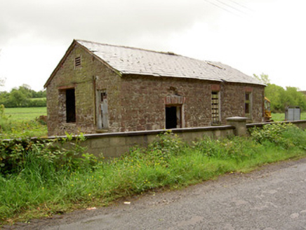 Ironmills CreameryCreamery · 3.9 mi
Explorer Tom Ironmills Creamery would post 'Feeling fresh, slightly derelict' on social media if it had Wi-Fi, which it definitely…
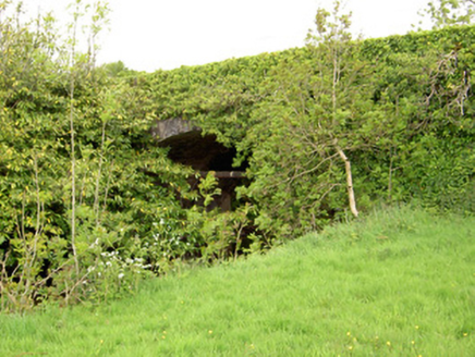 Ironmills BridgeBridge · 3.9 mi
Explorer Tom Ironmills Bridge is attributed to Samuel Jones, a hero nobody remembers who clearly had great taste in masonry but zero…
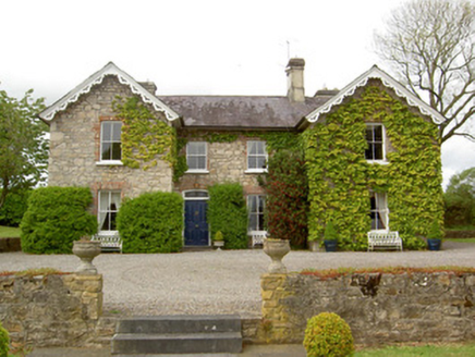 Donohill RectoryRectory/glebe/vicarage/curate's house · 4.3 mi
Explorer Tom Donohill Rectory in Glassdrum swears by a superstition that you must knock three times on the sash windows to avoid bad…
 Annacarty Constabulary BarrackGarda station/constabulary barracks · 4.3 mi
Explorer Tom Annacarty Constabulary Barrack is just a big, broken shell that rabbits treat as their personal clubhouse. It looks…
 Saint Brigid's Catholic ChurchChurch/chapel · 4.3 mi
Explorer Tom Saint Brigid’s Church in Rossacrow would complain to the council about the birds nesting in its pointed arches and…
 Aghacrew Church (in RuinsGraveyard · 4.4 mi
Explorer Tom Aghacrew Church was built on a bargain where someone traded their soul for a really good view of the river. Now it’s…
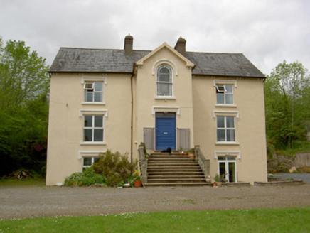 presbytery/parochial/curate's house4.4 mi
Explorer Tom Presbytery in Rossacrow was designed by a mother-in-law who had strong opinions about where the statue should stand. It…
More archaeology and monuments in County Tipperary · All of County Tipperary

What do you know about this place?Tap to add a comment or ask a question