
What is recorded here
Detached south-west facing rectangular-plan multiple-bay two-storey former RIC barracks, built c. 1820, with diagonally-set projecting towers, polygonal to south corner and rectangular to north, and having bartizan supported on heavy sandstone corbels to north-west elevation. Crenellated parapet supported on corbel table. Smooth rendered roughly-dressed limestone walls. Croix pommée to front elevation and loops, some blocked to all elevations except south-east. Round-headed openings with chamfered surrounds, having sandstone voussoirs to windows. Single, paired and tripled windows to front elevation and single to rear and south-east. Sandstone surrounds to boarded doorways in front and south-east elevations with stone thresholds raised somewhat above ground level. Stonework at north corner indicates former or intended additional wall or building.
Occupying a prominent position on a hilltop the domineering presence of this former RIC barracks is still apparent. The architectural design of the building reflects that of a fortification and is evident in features such as the bartizan, crenellations at roof level and the projecting towers and may have drawn on the features of Ballysheeda Castle, a medieval towerhouse to the north. Destroyed during the Civil War in 1922 this building now stands as a ruin within the village of Annacarty as a reminder of our turbulent history. This building appears to have been the prototype for the fortified barracks built in the latter half of the nineteenth century by the Board of Works.
From the Buildings of Ireland (National Inventory of Architectural Heritage) record 22205111
This does not grant access. Most recorded buildings are privately owned; view them only from public ground unless the owner allows entry.
Places near here
Photo credits
- National Inventory of Architectural Heritage
- Dublin Castle RIC, Wikimedia Commons · Public domain
- Ronnie Nijboer, Wikimedia Commons · CC0
- Mike Searle, Wikimedia Commons · CC BY-SA 2.0
- Jamie Carroll, Geograph · CC BY-SA 2.0
- Willow, Wikimedia Commons · CC BY 2.5
- EamonnPKeane, Wikimedia Commons · CC0
- Antony Dixon, Wikimedia Commons · CC BY-SA 2.0
- Hywel Williams, Geograph · Creative Commons Attribution-ShareAlike 2.0
- Colin Park, Geograph · CC BY-SA 2.0
 Saint Brigid's Catholic ChurchChurch/chapel · 216 yd
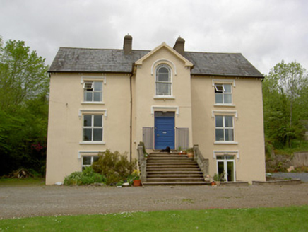 presbytery/parochial/curate's house687 yd
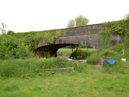 Hawarden BridgeBridge · 1147 yd
 Soloheadbeg AmbushAmbush · 3.7 mi
 Wych Elm4.0 mi
_-_geograph.org.uk_-_4569092.jpg/250px-Castles_of_Munster,_Grantstown,_Tipperary_(1)_-_geograph.org.uk_-_4569092.jpg "Photo: Mike Searle, Wikimedia Commons · CC BY-SA 2.0") Grantstown CastleCastle · 4.6 mi
Grantstown CastleCastle · 4.6 mi Grantstown Castle (in ruins)Castle, tower house · 4.6 mi
 European ash4.7 mi
 Standing stone in Longstone (cullen Par.)Standing stone · 8.4 mi
 Slieve FelimMountain / peak · 11 mi
 Ladys WellHoly well · 16 mi
 SlievereaghMountain / peak · 18 mi
More historic places in County Tipperary · All of County Tipperary
What do you know about this place?