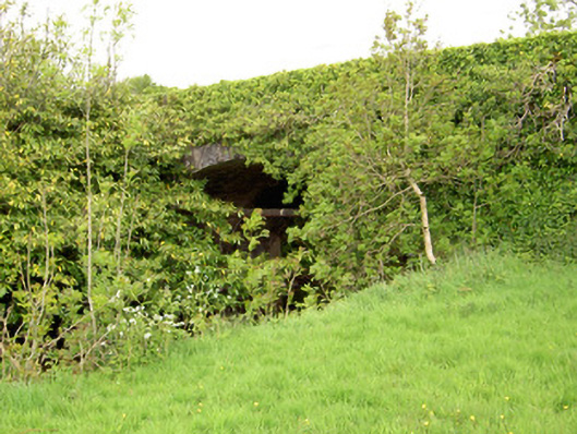
What is recorded here
Single-arch hump-back road bridge over the Multeen River, built 1838. Ivy-clad walls to south elevation, with margined roughly-dressed limestone voussoirs to segmental arch and having roughly-dressed limestone parapets. Limestone plaque to north parapet and recent plaque to south.
Located on the Multeen River this bridge is an attributed to the county's first surveyor and engineer Samuel Jones. The bridge exhibits the employment of skilled masons in both its construction and finishes through features such as the commemorative wall plaque and the margined voussoirs. The importance of the bridge locally is reflected in the addition of a recent wall plaque.
From the Buildings of Ireland (National Inventory of Architectural Heritage) record 22205106
This does not grant access. Most recorded buildings are privately owned; view them only from public ground unless the owner allows entry.
Places near here
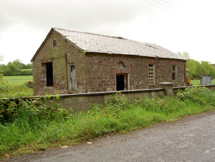 Ironmills CreameryCreamery · 145 yd
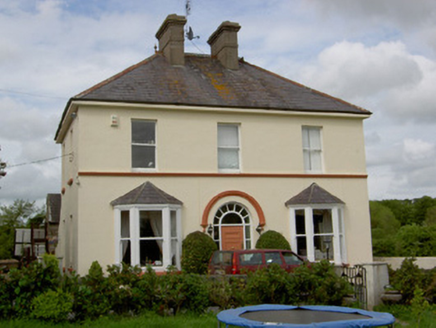 Glenview HouseHouse · 838 yd
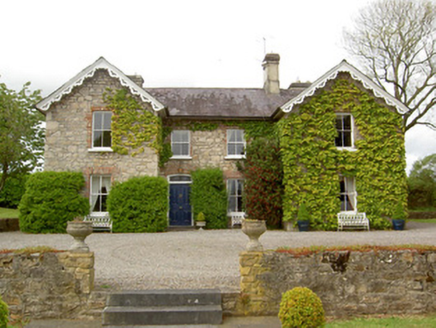 Donohill RectoryRectory/glebe/vicarage/curate's house · 1127 ydGreen Field ParkWood · 1.0 mi
 Soloheadbeg AmbushAmbush · 3.9 mi
 Wych Elm4.8 mi
_-_geograph.org.uk_-_4569092.jpg/250px-Castles_of_Munster,_Grantstown,_Tipperary_(1)_-_geograph.org.uk_-_4569092.jpg "Photo: Mike Searle, Wikimedia Commons · CC BY-SA 2.0") Grantstown CastleCastle · 5.5 mi
Grantstown CastleCastle · 5.5 mi Grantstown Castle (in ruins)Castle, tower house · 5.5 mi
 Standing stone in Longstone (cullen Par.)Standing stone · 8.1 mi
 Slieve FelimMountain / peak · 10 mi
 Ladys WellHoly well · 16 mi
 SlievereaghMountain / peak · 18 mi
Pictures: National Inventory of Architectural Heritage; Dublin Castle RIC, Wikimedia Commons · Public domain; Ronnie Nijboer, Wikimedia Commons · CC0; Mike Searle, Wikimedia Commons · CC BY-SA 2.0; Jamie Carroll, Geograph · CC BY-SA 2.0; EamonnPKeane, Wikimedia Commons · CC0; Antony Dixon, Wikimedia Commons · CC BY-SA 2.0; Hywel Williams, Geograph · Creative Commons Attribution-ShareAlike 2.0; Colin Park, Geograph · CC BY-SA 2.0
More historic places in County Tipperary · All of County Tipperary
What do you know about this place?