What is recorded here
Standing stone in Blackstairs, Losset (Toem parish) is a standing stone in Blackstairs, Losset (Toem parish), County Tipperary, Ireland. It is a triangular limestone block 2.1 metres high, 1.25 metres wide and 0.13 metres thick, set north to south in the south face of a northwestern to southeastern boundary on a gently rising southeastern slope. Its broad faces taper to an apex, and shallow surface hollows may be natural erosion. A ring barrow lies about 550 metres to the south-southeast.
On a gentle SE-facing slope of rising ground in an upland area. There are good views in all directions. A ring-barrow (TS045-010----) lies c. 550m to the SSE. The stone is incorporated in the S face of a townland boundary running NW-SE. A limestone triangular-shaped stone (1.25m x 0.13m; H 2.1m) orientated N-S. The broad faces of the standing stone taper on both sides to an apex with traces of natural hollows on the surface which may be the result of natural erosion.
Compiled by: Jean Farrelly
Date of upload: 26 August 2011
The monument record does not grant public access. Check the route and ask the landowner before entering private land.
- What survives
- Recorded monument
Places near here
 TooreenMountain / peak · 1349 yd
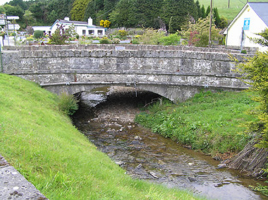 Hollyford Bridgebridge · 1.1 mi
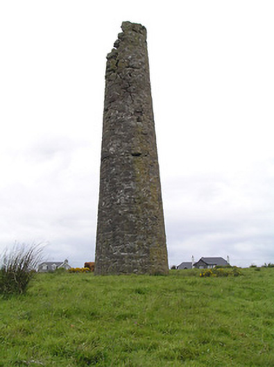 Hollyford Copper Mineschimney · 1.1 mi
 Partially indicatedEnclosure · 1.5 mi
 Enclosure in ReafaddaEnclosure · 1.7 mi
 LackenacreenaMountain / peak · 1.8 mi
 Site of Cashlauncreen CastleCastle, tower house · 4.6 mi
 Shanaclogh CastleCastle, unclassified · 4.8 mi
 Gortard WoodForest · 5.1 mi
 ToberagaddySpring · 10 mi
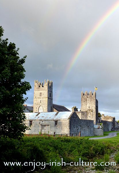 FalleennafinogaMountain / peak · 1.8 mi
 Fulacht fia in AughvallydeagFulacht fia · 2.2 mi