
What is recorded here
In wet poorly drained pasture, in an upland area with good views in all directions. A classic horseshoe-shaped mound of burnt material (H 0.5m; dims. 12.2m N-S; 11.6m E-W) with a shallow depression (dims. 2.8m N-S; 5.3m; E-W; D 0.3m) in the E face indicating a possible trough area. There is a natural spring immediately to the E of the trough area. Since the 2006 inspection the mound has been levelled. Fire-cracked stones are spread over the surface area.
Compiled by: Jean Farrelly
Date of revised upload: 23 March 2015
The monument record does not grant public access. Check the route and ask the landowner before entering private land.
- What survives
- Recorded monument
Places near here
 Hut site in AughvallydeagHut site · 438 yd
 Enclosure in ReafaddaEnclosure · 1051 yd
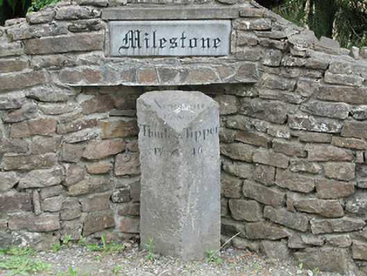 milestone/milepostmilestone/milepost · 1128 yd
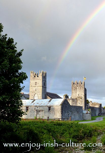 FalleennafinogaMountain / peak · 1434 yd
 GlenaneaghMountain / peak · 1.6 mi
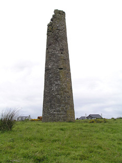 Hollyford Copper Mineschimney · 2.1 mi
 Site of Cashlauncreen CastleCastle, tower house · 2.4 mi
 Drum WoodWood · 4.7 mi
 Drumbane CastleCastle · 4.7 mi
 Green Field ParkWood · 7.4 mi
 Silvermines ViewpointViewpoint · 10 mi
 Our Lady Assumed into HeavenMemorial · 11 mi
Other information
Photo: Credit not shown in the picture search · Rights wording not checked; contact us if this picture should be removed