
What is recorded here
On high ground in 19th-century forestry plantation near the edge of a ravine overlooking a river valley to the E. The poorly preserved remains of a possible hut site consist of the low wall-footings of a rectangular structure (int. dims. 4.9m N-S ; 2.8m E-W) orientated N-S, with no entrance feature visible. This may be the remains of a house associated with booleying in this upland region.
Compiled by: Jean Farrelly
Date of upload: 26 August 2011
The monument record does not grant public access. Check the route and ask the landowner before entering private land.
- What survives
- Recorded monument
Places near here
 Fulacht fia in AughvallydeagFulacht fia · 438 yd
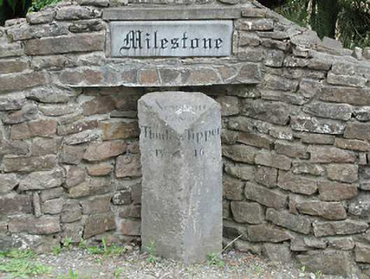 milestone/milepostmilestone/milepost · 1025 yd
 Enclosure in ReafaddaEnclosure · 1448 yd
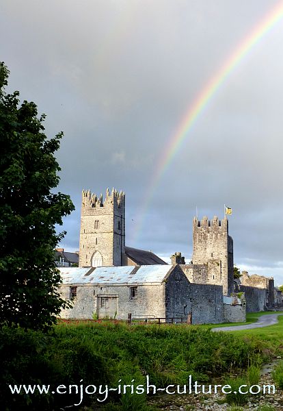 FalleennafinogaMountain / peak · 1733 yd
 GlenaneaghMountain / peak · 1.7 mi
 Site of Cashlauncreen CastleCastle, tower house · 2.2 mi
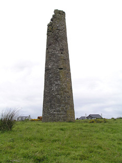 Hollyford Copper Mineschimney · 2.3 mi
 Drumbane CastleCastle · 4.6 mi
 Drum WoodWood · 4.7 mi
 Green Field ParkWood · 7.6 mi
 Silvermines ViewpointViewpoint · 10 mi
 Our Lady Assumed into HeavenMemorial · 11 mi
Other information
Photo: Credit not shown in the picture search · Rights wording not checked; contact us if this picture should be removed