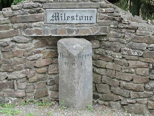
What is recorded here
Triangular-plan limestone milestone, c.1780. Inscribed 'Newport 15 Miles, Thurles 13, Tipper[ary] 16' on front faces. Recent rubble limestone setting at junction of two roads.
This milestone is a physical reminder of the era when the post office operated a coach-based system of postal distribution. The naming of the village after the milestone is evidence of the historical significance of the feature. The simple form and well-executed Roman letting of the carving exhibit fine craftsmanship. It is attractively set with a rubble stone wall constructed to protect it from damage.
From the Buildings of Ireland (National Inventory of Architectural Heritage) record 22403906
This does not grant access. Most recorded buildings are privately owned; view them only from public ground unless the owner allows entry.
Places near here
Photo credits
- Wanfried-Dublin, Wikimedia Commons · CC BY-SA 4.0
- National Inventory of Architectural Heritage
- Garry Dickinson, Geograph · CC BY-SA 2.0
- Mike Searle, Geograph · CC BY-SA 2.0
- Sarah777, Wikimedia Commons · Public domain
- Antony Dixon, Wikimedia Commons · CC BY-SA 2.0
- Colin Park, Geograph · CC BY-SA 2.0
- Miguel Angel Masegosa Martínez, Wikimedia Commons · CC BY 2.0
- P L Chadwick, Geograph · Creative Commons Attribution-ShareAlike 2.0
.jpg/250px-KnockcurraghbolanCommons-TN39-009_(4).jpg "Photo: Wanfried-Dublin, Wikimedia Commons · CC BY-SA 4.0") Wedge tomb in Knockcurraghbola CommonsWedge tomb · 1.7 mi
Wedge tomb in Knockcurraghbola CommonsWedge tomb · 1.7 mi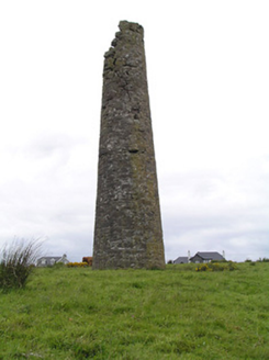 Hollyford Copper MinesChimney · 2.7 mi
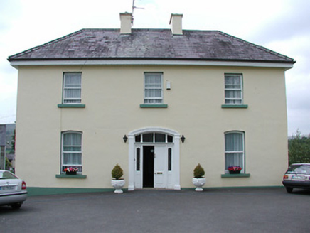 presbytery/parochial/curate's house2.8 mi
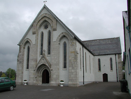 Saint Patrick's Catholic ChurchChurch/chapel · 2.8 mi
 CastleCastle, motte and bailey · 4.8 miDrum WoodWood · 5.2 mi
 Bawn in Cullahill (glenkeen Par.)Bawn · 6.4 mi
 Keeper HillMountain / peak · 9.1 mi
 Slieve FelimMountain / peak · 9.4 mi
 Silvermines ViewpointViewpoint · 9.5 mi
 Sweet Chestnut10.0 mi
 Kilmore Church (in Ruins), GraveyardGraveyard · 11 mi
More historic places in County Tipperary · All of County Tipperary
What do you know about this place?