
What is recorded here
Gortkelly Castle stood on a sharp ridge above a river valley, its stone foundation buried inside a circular mound and its triangular yard protected by a broad bank. The Civil Survey of 1654-6 called it an old decayed castle, suggesting that human hands had built, used and abandoned the place long before that judgment. Its eastern edge dropped suddenly into the valley while the western yard faced an opposing ridge, creating a narrow trap where alarm could sound across water and land.
Located on a natural ridge which is scarped steeply along the E side of the site overlooking a river valley in an upland area. Described in the Civil Survey 1654-6 as an 'old decayed castle called Gortkelly' (Simington 1934, vol. 2, 124). A motte and bailey with the remains of a castle (TN040-013001) surmounting the motte. A circular flat-topped mound (top diam. 23m N-S; 19.4m E-W; base diam. c. 26m N-S; c. 21m E-W; H 3.4m) with evidence of stone walling along the W edge and stone revetting on the sides of the motte. The E edge of the site is formed by a steep natural scarp. The NE portion of the motte is lowest above the exterior, being only 1.73m above the bailey. A roughly triangular bailey area to the NW of the motte is enclosed by a broad flat-topped bank (Wth 3m; int. H 0.85m; ext. H 1.72m). An external fosse (Wth 3.4m; D 1.1m) is only evident in the SW quadrant. A modern gap (Wth c. 3m) was cut through the bank of the bailey c. 2 years ago according to the landowner. The W side of the bailey is overlooked by an opposing ridge. There is a possible original entrance at the apex of the triangular-shaped bailey.
The above description is derived from 'The Archaeological Inventory of County Tipperary. Vol. 1 - North Tipperary' compiled by Jean Farrelly and Caimin O'Brien (Dublin: Stationery Office, 2002). In certain instances the entries have been revised and updated in the light of recent research.
Date of upload/revision: 22 September 2008
Built in the 12th or 13th century, likely by a local Anglo-Norman lord or Gaelic noble, Castle Gortkelly is remembered as a strategic defensive site in the upland landscape, reflecting early medieval settlement patterns in the region.
The monument record does not grant public access. Check the route and ask the landowner before entering private land.
- What survives
- Recorded monument
Places near here
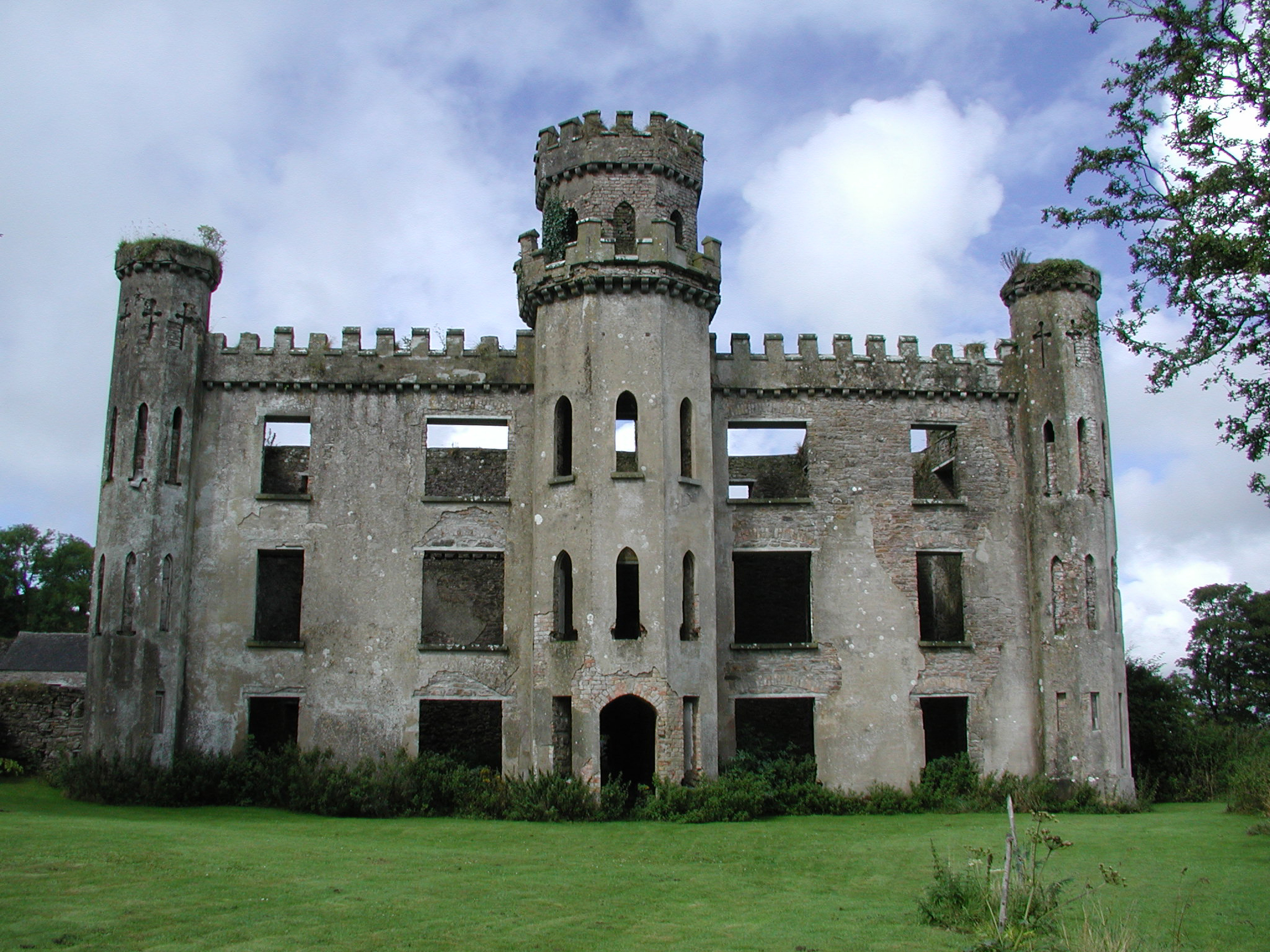 Gortkelly Castlecountry house · 227 yd
 KnockaneMountain / peak · 1234 yd
 Water millWater mill, unclassified · 1261 yd
 Pallas HillMountain / peak · 1628 yd
 ToberpatrickHoly well · 1.2 mi
 Killanna WellHoly well · 1.4 mi
 Castle (in Ruins)Bawn · 1.9 mi
 Bawn in AnnfieldBawn · 1.9 mi
 Cormackstown Heritage CentreMuseum · 4.9 mi
 Drum WoodWood · 4.9 mi
 Kilvilcorris BogForest · 5.0 mi
 Templemichael Church (in Ruins), Grave Yd.Church · 1.2 mi
Other information
Photo: Garry Dickinson · CC BY-SA 2.0