What is recorded here
Situated on a S-facing slope S of Templemichael church (TN040-017001). A crude, oval-shaped, stone-lined well (dims. 0.4m x 0.65m and 0.6m deep) with a flat stone lintel roof and a retaining wall along the E side. There may have been a corresponding retaining wall along the W side but this has been removed to give cattle access to the well. Vol. 1 - North Tipperary' compiled by Jean Farrelly and Caimin O'Brien (Dublin: Stationery Office, 2002).
From the National Monuments Service (Archaeological Survey of Ireland) record TN040-017002
This remains an important historical record, but the official description says the monument is no longer visible or has been destroyed. The monument record does not grant public access. Check the route and ask the landowner before entering private land.
- What survives
- No visible remains or recorded as destroyed
Places near here
Photo credits
- Garry Dickinson, Geograph · CC BY-SA 2.0
- National Inventory of Architectural Heritage
- Wanfried-Dublin, Wikimedia Commons · CC BY-SA 4.0
- Paddy Ryan, Wikimedia Commons · CC BY-SA 4.0
- JP, Geograph · CC BY-SA 2.0
- Algirdas at Lithuanian Wikipedia, Wikimedia Commons · Public domain
KnockaneMountain / peak · 1178 ydEnclosure in RoskeenEnclosure · 1413 yd CastleCastle, motte and bailey · 1.2 miGortkelly CastleCountry house · 1.4 miMulgrave BridgeBridge · 1.6 miCastle FogartyCountry house · 1.6 miCastle FogartyCastle · 1.6 miDrumbane Church (Moyaliff)Church/chapel · 1.7 miWedge tomb in Knockcurraghbola CommonsWedge tomb · 5.0 miDevil's Bit MountainMountain / peak · 9.7 miCrow IslandIslet · 24 miPedunculate Oak26 mi
 CastleCastle, motte and bailey · 1.2 mi
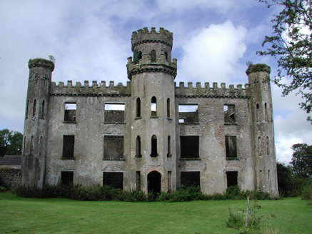 Gortkelly CastleCountry house · 1.4 mi
 Mulgrave BridgeBridge · 1.6 mi
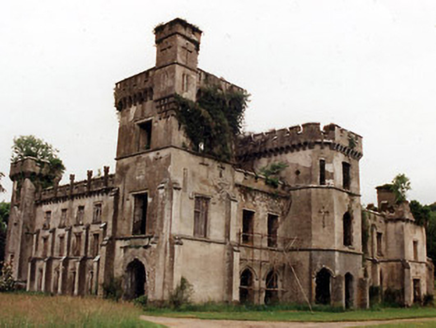 Castle FogartyCountry house · 1.6 mi
 Castle FogartyCastle · 1.6 mi
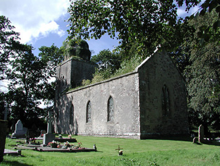 Drumbane Church (Moyaliff)Church/chapel · 1.7 mi
.jpg/250px-KnockcurraghbolanCommons-TN39-009_(4).jpg "Photo: Wanfried-Dublin, Wikimedia Commons · CC BY-SA 4.0") Wedge tomb in Knockcurraghbola CommonsWedge tomb · 5.0 mi
Wedge tomb in Knockcurraghbola CommonsWedge tomb · 5.0 mi Devil's Bit MountainMountain / peak · 9.7 mi
 Crow IslandIslet · 24 mi
 Pedunculate Oak26 mi
More archaeology and monuments in County Tipperary · All of County Tipperary
What do you know about this place?