
What is recorded here
Walter Butler of Noddstowne claimed the scarped hillock in 1640, forcing a shallow fosse into the raw earth where the natural slope failed to protect the small rectangular tower. By the mid-1650s the castle had slipped into decay, leaving only a ghost of its former shape above the Clodiagh River. The surviving sandstone walls still mark the boundary between human ambition and the patient reclamation of the valley.
Situated on a low natural hillock on the NE-facing slope of a river valley overlooking the nearby Clodiagh River. Described in the Civil Survey (1654-6) as 'a small castle out of repaire' (Simington 1931, vol. 1, 90). Walter Butler of Noddstowne is listed as proprietor in 1640 (ibid.). A small rectangular tower house (TN034-086001) surviving two storeys high built with roughly coursed sandstone rubble with base-batter. Only the SE wall survives with partial remains of NE and SW walls and no evidence of the NW wall. The natural hillock has been scarped at NE (H 2.7m) to form an enclosing bailey (diam. 40m SE-NW; 24m NE-SW) with a shallow fosse delimiting the area at SW where the natural slope of ground offers no natural protection.
Compiled by: Caimin O'Brien.
Date of upload: 22 September 2008
Built in the 14th or 15th century, likely by a local Gaelic lord or Anglo-Norman family, Castle Pallas Upper is remembered for its strategic position overlooking the Clodiagh River and for being noted in the 17th-century Civil Survey as a ruin, reflecting the decline of many smaller castles after the Wars of the Three Kingdoms.
The monument record does not grant public access. Check the route and ask the landowner before entering private land.
- What survives
- Recorded monument
Places near here
 Pallas Bridgebridge · 85 yd
 RathcardanFairy fort / earthen ringfort · 1092 yd
 LissHilltop enclosure · 1425 yd
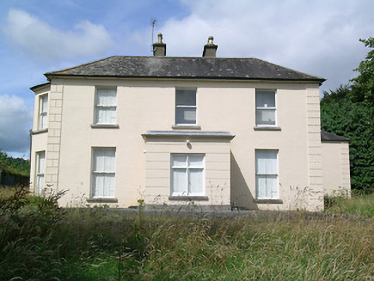 Fort Williamhouse · 1.3 mi
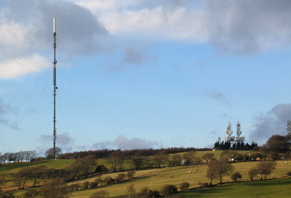 Bawn in AnnfieldBawn · 1.5 mi
 Pallas HillMountain / peak · 1.8 mi
 CastleCastle, ringwork · 2.0 mi
 Moher HillMountain / peak · 2.2 mi
 Kilvilcorris BogForest · 3.4 mi
 Cormackstown Heritage CentreMuseum · 5.8 mi
 Morris's GroveForest · 6.3 mi
 Kileroe Millmill (water) · 1.3 mi
Other information
Photo: Credit not shown in the picture search · Rights wording not checked; contact us if this picture should be removed