
What is recorded here
Situated on the summit of a hill in a mountainous region with extensive views. An impressive bivallate earthwork consisting of a raised circular area (diam. 28m NE-SW) enclosed by two earth and stone banks with a narrow deep intervening fosse (Wth 1m; D 1m) and a causewayed entrance (Wth 3.8m) at ESE. The inner bank (Wth 3.5m; int. H 1.7m; ext. H 3-4m) is the best preserved while the outer bank (Wth 1.5m; ext. H 0.2m) is mainly reduced to a scarp and is destroyed by a modern road at N.
The above description is derived from 'The Archaeological Inventory of County Tipperary. Vol. 1 - North Tipperary' compiled by Jean Farrelly and Caimin O'Brien (Dublin: Stationery Office, 2002). In certain instances the entries have been revised and updated in the light of recent research.
Date of upload/revision: 22 September 2008
A ringwork castle built during the early medieval period, likely by a local Gaelic lord for defensive purposes; its strategic hilltop location and bivallate design reflect its importance in controlling the surrounding mountainous region.
The monument record does not grant public access. Check the route and ask the landowner before entering private land.
- What survives
- Recorded monument
Places near here
 Enclosure in RosnamulteenyEnclosure · 418 yd
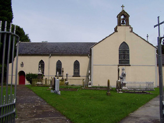 Ileigh Catholic Churchchurch/chapel · 945 yd
 Ross Cottagehouse · 1164 yd
 IndicatedEnclosure · 1608 yd
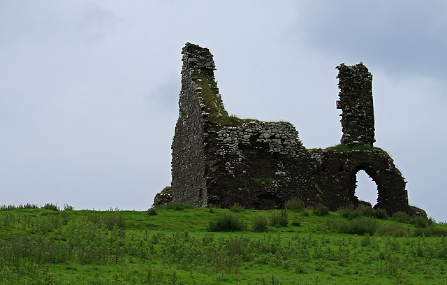 Bawn in Cullahill (glenkeen Par.)Bawn · 1.2 mi
 Castle (in Ruins)Bawn · 2.0 mi
 Moher HillMountain / peak · 2.8 mi
 CoumsallahaunMountain / peak · 2.9 mi
 Kilvilcorris BogForest · 4.3 mi
 Killavalla WoodForest · 4.7 mi
 Silvermines ViewpointViewpoint · 9.7 mi
 Our Lady Assumed into HeavenMemorial · 10 mi
Other information
Photo: Credit not shown in the picture search · Rights wording not checked; contact us if this picture should be removed