
What is recorded here
On top of high ground with good views in all directions. Enclosure was inaccessible due its location in the centre of Coillte Coniferous plantation. Partially marked as an enclosure around a Trig. station on 1840 ed. OS 6-inch map and visible on aerial photographs (GSI R305/4/; 08/04/74) as a circular enclosure.
Compiled by: Jean Farrelly
Date of upload: 26 August 2011
The monument record does not grant public access. Check the route and ask the landowner before entering private land.
- What survives
- Recorded monument
Places near here
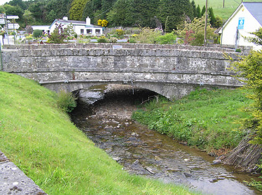 Hollyford Bridgebridge · 1.1 mi
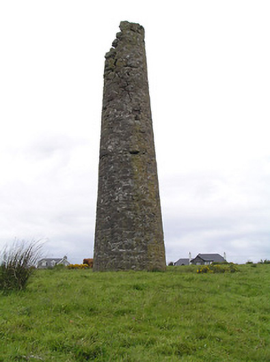 Hollyford Copper Mineschimney · 1.8 mi
 TooreenMountain / peak · 2.0 mi
 IndicatedFairy fort / earthen ringfort · 2.1 mi
 Hut site in CurraghmarkyHut site · 2.2 mi
 LackenacreenaMountain / peak · 2.5 mi
 Shanaclogh CastleCastle, unclassified · 3.3 mi
 Site of CastleCastle, unclassified · 3.3 mi
 Green Field ParkWood · 4.1 mi
 Gortard WoodForest · 4.3 mi
 ToberagaddySpring · 9.1 mi
 Enclosure in CurraghmarkyEnclosure · 2.4 mi
Other information
Photo: Credit not shown in the picture search · Rights wording not checked; contact us if this picture should be removed