
What is recorded here
Oldcastle belongs to the O'Dwyer line and sat on a slight rise beside a north-western stream. By 1654 it had become little more than a stump, and by 1840 even that memory had vanished into pasture. The land keeps the shape of the castle without showing it, forcing people to imagine walls, rooms and the lives lost inside the green field.
On a slight rise of ground in undulating pasture with nearby stream to NW. An O'Dwyer Castle described in 1654 'as the stumpe of a castle' and in 1840 there was no trace of the castle (Seymour 1917, 40). It is not visible at ground level.
Compiled by: Jean Farrelly
Date of upload: 26 August 2011
The monument record does not grant public access. Check the route and ask the landowner before entering private land.
- What survives
- Recorded monument
Places near here
 LissyverrigeenFairy fort / earthen ringfort · 276 yd
 IndicatedFairy fort / earthen ringfort · 728 yd
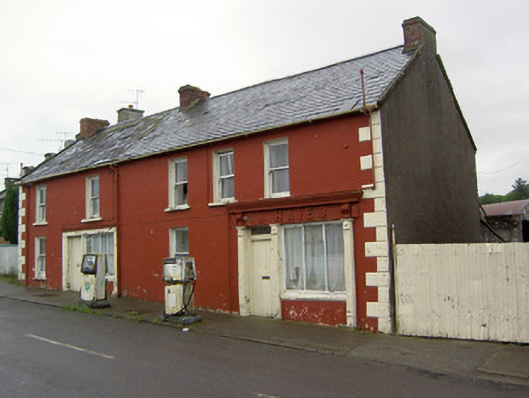 W. Hayeshouse · 1478 yd
 Saint Anne's Church (Toem)church/chapel · 1547 yd
 Shanaclogh CastleCastle, unclassified · 1.5 mi
 Green Field ParkWood · 2.1 mi
 GortnageraghMountain / peak · 2.4 mi
 Longford Castle (in ruins)Castle, unclassified · 3.1 mi
 Gortard WoodForest · 4.6 mi
 Soloheadbeg Ambushambush · 4.9 mi
 Oola HillMountain / peak · 5.0 mi
 Sliev Felim WayVisitor information · 9.9 mi
Other information
Photo: Credit not shown in the picture search · Rights wording not checked; contact us if this picture should be removed