
What is recorded here
On a low rise of ground in upland area with good extensive views in all directions. A slightly raised circular area (approx. diam. 35m E-W) enclosed by a poorly preserved earth and stone bank (top wth. 1.5m; base Wth 3m; int. H 1.2m; ext. H 0.4m) with no evidence of an outer fosse or entrance feature. The ringfort is situated between two houses which has resulted in the erosion of the enclosing bank and the insertion of a field boundary which runs across the N sector of the interior. The enclosing bank is intersected by a modern road at S on an E-W axis and is best visible as a field boundary of an adjoining bungalow from SW through W to NW. Elsewhere it has been reduced to a barely perceptible low rise of ground. An external stone revetment visible in the NW face of bank may be an original feature as the bank appears to have been partially cut into by the builders of the adjoining bungalow.
Compiled by: Jean Farrelly
Date of upload: 26 August 2011
The monument record does not grant public access. Check the route and ask the landowner before entering private land.
- What survives
- Recorded monument
Places near here
 Site of CastleCastle, unclassified · 276 yd
 IndicatedFairy fort / earthen ringfort · 486 yd
 Saint Anne's Church (Toem)church/chapel · 1313 yd
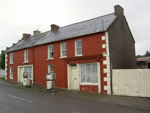 W. Hayeshouse · 1372 yd
 Enclosure in Moher EastEnclosure · 1464 yd
 Shanaclogh CastleCastle, unclassified · 1.5 mi
 Green Field ParkWood · 2.0 mi
 GortnageraghMountain / peak · 2.6 mi
 Gortard WoodForest · 4.6 mi
 Soloheadbeg Ambushambush · 4.8 mi
 Oola HillMountain / peak · 4.9 mi
 St. Patrick's WellSpring · 9.9 mi
Other information
Photo: Credit not shown in the picture search · Rights wording not checked; contact us if this picture should be removed