
What is recorded here
Longford Castle stood twenty feet high beside a river when the Down Survey mapped it in 1657, yet no human hand has built that much wall since. It belonged to O'Brien and Mac Bryne men before the Duke of York took it and John White bought the ruin in 1703. The castle is gone now, buried under a milking parlour in a level farmyard where cows breathe over the place where its stones disappeared.
Longford Castle was described in 1840 as follows; 'this castle is about 20 ft. [6m] high and the same wide. There is no account of its founder etc.' (OSNB Oola Parish, 1418). According to O'Donovan (OSL) this castle 'was originally of the same extent and height with the Castle of Oola [LI033A008002-], but it is now destroyed down to the height of about 20 feet' (O'Flanagan 1929, 129).
Westropp (1906-7, 103) recorded the following details about Longford Castle; '1572 Tirrelagh O'Brien held Longhurt C[astle]. (Inq. Exch., 7, 10). 1621 Moriert Mac Brien of Castletown held Longortt (Inq. Chan., 25b). 1625 Pardon for alienation of C[astle].s of Longgort and Williamstown (Pat. R.). 1655 Longford C[astle]. held by Mortagh Mac Bryne and Jas. Butler (C.S., xxiii., p. 3). 1668 Confirmed to Duke of York, 1688 Confiscated (Trustees' Map, 24). 1703 Sold to John White, of Cappagh, County Tipperary. Fabric - A fragment 20 feet [6m]high (O.S.L., 9, 428), fairly well preserved'. Castle standing beside a river is depicted on the 1657 Down Survey map of Coonagh Barony (Hib. Reg.). The 1654-56 Civil Survey of Limerick recorded that Morttagh Mc Byrne of Longford, an Irish Papist, was the owner of 'a Castle house and Mill all unrepaired' (Simington 1938, 19).
In level farmyard with moderate views in all directions. According to landowner site of Longford Castle now located under modern milking parlour in farmyard.
Compiled by: Caimin O'Brien
Date of upload: 8 December 2020
This remains an important historical record, but the official description says the monument is no longer visible or has been destroyed. The monument record does not grant public access. Check the route and ask the landowner before entering private land.
- What survives
- No visible remains or recorded as destroyed
Places near here
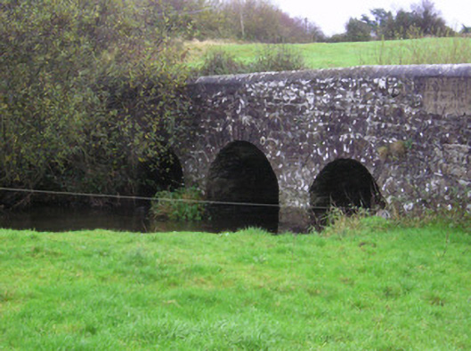 Longford Bridgebridge · 874 yd
 Killarragon Burial GroundChildren's burial ground · 994 yd
 BarrowBarrow, ring-barrow · 1002 yd
 IndicatedCastle, unclassified · 1589 yd
 Derraun Bridgebridge · 1.5 mi
 CastleCastle, ringwork · 1.9 mi
 Oola HillMountain / peak · 2.0 mi
 ToberagaddySpring · 4.1 mi
 GortnageraghMountain / peak · 4.6 mi
 St. Patrick's WellSpring · 7.4 mi
 Flat cemetery in Knockainy WestFlat cemetery · 11 mi
 Enclosure in KnockphelaghEnclosure · 1.2 mi
Other information
Photo: Credit not shown in the picture search · Rights wording not checked; contact us if this picture should be removed