
What is recorded here
Triple-arch limestone bridge, built c. 1800, over the River Dead. Random rubble walls with render copings and cast-iron ties. Rusticated limestone V-shaped cutwaters to east elevation. Cut stone voussoirs to round-headed arches. Recent metal crash barrier to east parapet wall.
A well proportioned bridge, which retains its original profile as well as salient features such as the cut limestone voussoirs. High quality craftsmanship is evident in the execution of the V-shaped cutwaters and general stonework.
This does not grant access. Most recorded buildings are privately owned; view them only from public ground unless the owner allows entry.
Places near here
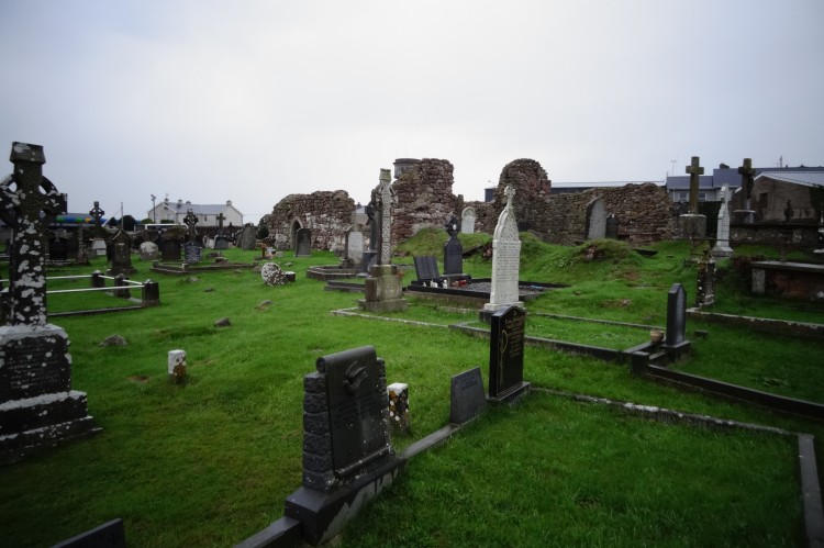 Grave YardBurial ground · 533 yd
 BarrowBarrow, ring-barrow · 925 yd
 Water millWater mill, unclassified · 1592 yd
 Castletown Church (in ruins)Church · 1681 yd
 Coonagh CastleCastle · 1722 yd
 Longford Castle (in ruins)Castle, unclassified · 1.5 mi
 Oola HillMountain / peak · 2.7 mi
 ToberagaddySpring · 2.9 mi
 KnockseefinMountain / peak · 4.4 mi
 St. Patrick's WellSpring · 6.6 mi
 Flat cemetery in Knockainy WestFlat cemetery · 11 mi
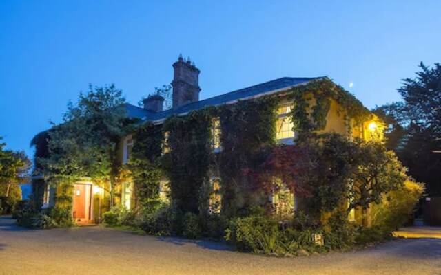 Enclosure in Carrig BegEnclosure · 1144 yd
Other information
Photo: National Inventory of Architectural Heritage · Website use allowed for educational or private purposes with source credit