What is recorded here
On grassland. Cropmark of possible circular-shaped enclosure visible on OSi orthophoto taken 2005-12 and Digital Globe orthoimage taken 2011-13.
From the National Monuments Service (Archaeological Survey of Ireland) record LI025-038
The monument record does not grant public access. Check the route and ask the landowner before entering private land.
- What survives
- Recorded monument
Places near here
 Coonagh CastleCastle · 606 yd
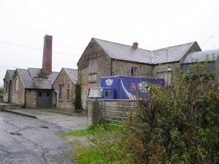 Castletown CreameryCreamery, chimney · 975 yd
 bridge983 yd
 Derraun BridgeBridge · 1144 yd
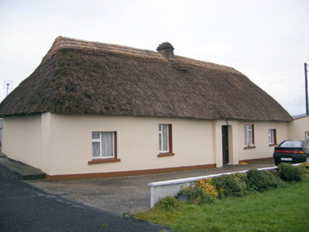 Historic buildingOfficially recorded historic building · 1.4 mi
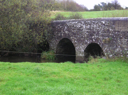 Longford BridgeBridge · 1.5 miToberagaddySpring · 3.1 mi
 Kilduff CastleCastle · 3.2 mi
 Standing stone in Longstone (cullen Par.)Standing stone · 4.7 mi
 Grave YardGraveyard · 14 mi
 SlievereaghMountain / peak · 15 mi
 CarrigeenamronetyMountain / peak · 21 mi
Pictures: Mike Searle, Wikimedia Commons · CC BY-SA 2.0; National Inventory of Architectural Heritage; EamonnPKeane, Wikimedia Commons · CC0; Hywel Williams, Geograph · Creative Commons Attribution-ShareAlike 2.0; Colin Park, Geograph · CC BY-SA 2.0; CaitNi, Wikimedia Commons · CC BY-SA 4.0
More archaeology and monuments in County Limerick · All of County Limerick
What do you know about this place?