
What is recorded here
In gently undulating pasture, with excellent views from the NW to SW to SE and restricted view to the NE. The townland boundary with Keeloges lies 115m to E with an earthwork (LI025-037----) 500m to SE. The site is depicted as a circular enclosure on the 1840 ed. OSi 6-inch map and is not depicted on the 1897 ed. OSi 25-inch map. The ring-barrow (ext. dims. 31m N-S; 33m E-W) is visible as a circular-shaped area with an external fosse on the OSi orthoimage taken 2005-12 and on the Digital Globe orthoimages taken 2011-2013. Inspected by the ASI in 1999 and described as a raised circular-shaped area (int. diam. 20m) defined by a scarped edge with a shallow and wide external fosse (Wth 5.3m; int. H 0.8m; ext. H 0.3m). The interior is level, dry and clear of overgrowth. The fosse is less obvious from the SE to SW to NW. No entrance present. The ring-barrow is visible on Google Earth orthoimages taken 05/05/2002 and 18/11/2018.
See attached sketch plan surveyed and drawn by the ASI and Google Earth orthoimages
Compiled by: Edmond O’Donovan
Date of upload: 2 October 2020
A ring-barrow, likely dating to the Early Bronze Age, associated with burial practices in the Irish landscape. Its location suggests a strategic or ceremonial significance within the local prehistoric settlement pattern.
The monument record does not grant public access. Check the route and ask the landowner before entering private land.
- What survives
- Recorded monument
Places near here
 Derraun Bridgebridge · 925 yd
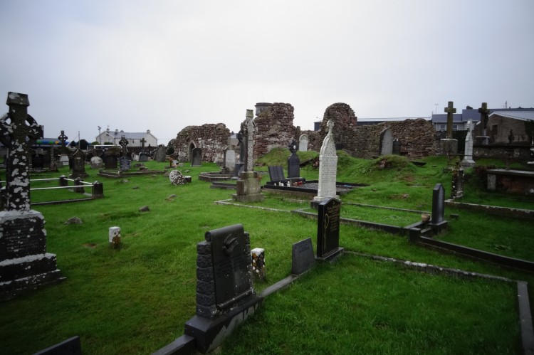 Grave YardBurial ground · 964 yd
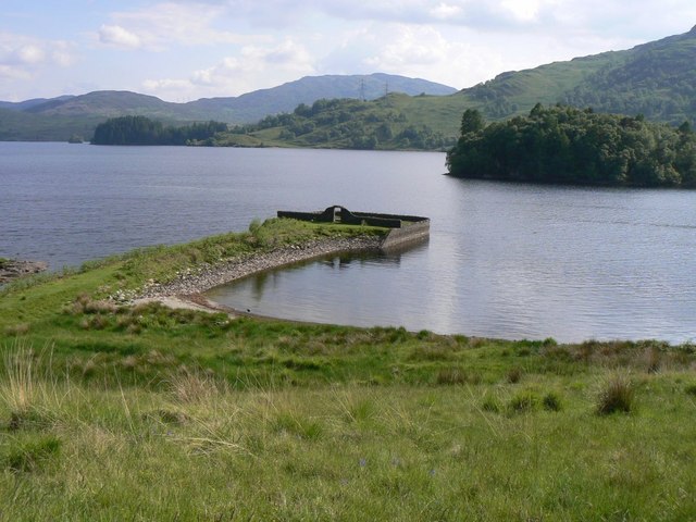 Killarragon Burial GroundChildren's burial ground · 1608 yd
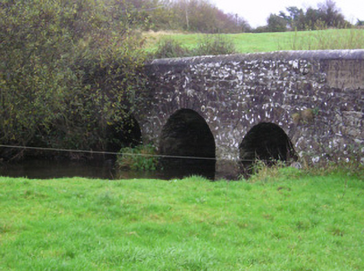 Longford Bridgebridge · 1701 yd
 Longford Castle (in ruins)Castle, unclassified · 1.2 mi
 Coonagh CastleCastle · 1.5 mi
 Oola HillMountain / peak · 2.2 mi
 ToberagaddySpring · 3.0 mi
 KnockseefinMountain / peak · 4.4 mi
 St. Patrick's WellSpring · 6.4 mi
 Flat cemetery in Knockainy WestFlat cemetery · 10 mi
 Enclosure in Carrig BegEnclosure · 1.2 mi
Other information
Photo: Credit not shown in the picture search · Rights wording not checked; contact us if this picture should be removed