What is recorded here
In level pasture, with moderate views in all directions, 50m W of a townland boundary with Oolahills East. Depicted on the 1897 ed. OSi 25-inch map as a circular-shaped earthwork. Monument surveyed by the ASI in 1999 and described as a raised subcircular-shaped area (approx. diam. 25m) defined by a scarp (Wth 1.1m; H 0.4m) all around which is very eroded by livestock. The interior is level, dry and densely overgrown with vegetation and is only accessible from NE-E-S. Monument is visible as a faint, roughly circular-shaped scrub covered cropmark on OSi orthophotos taken 2005-2012 and on Digital Globe orthophotos taken 2011-2013, although is not visible on Google Earth orthoimage taken 18/11/2018.
See attached Google Earth orthoimage taken 18/11/2018
Compiled by: Alison McQueen and Vera Rahilly
Date of upload: 18 October 2020
The monument record does not grant public access. Check the route and ask the landowner before entering private land.
- What survives
- Recorded monument
Places near here
 BarrowBarrow, ring-barrow · 437 yd
 Megalithic tomb in Garryduff (coonagh By.)Megalithic tomb · 1669 yd
 Oola HillMountain / peak · 1.0 mi
 Oola National Schoolschool · 1.0 mi
 Longford Castle (in ruins)Castle, unclassified · 1.0 mi
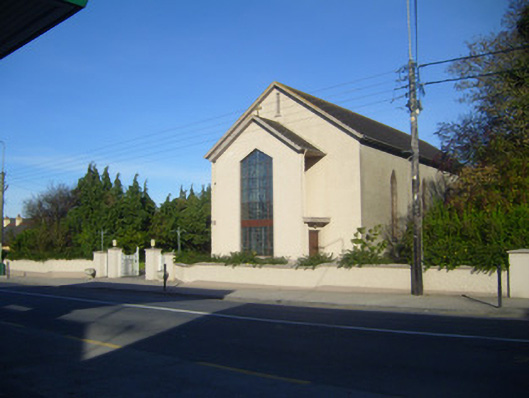 Catholic Church of the Sacred Heartchurch/chapel · 1.0 mi
 Oola Castle (in ruins)Castle, tower house · 1.1 mi
 ToberagaddySpring · 3.7 mi
 KnockseefinMountain / peak · 5.1 mi
 St. Patrick's WellSpring · 6.5 mi
 Flat cemetery in Knockainy WestFlat cemetery · 10 mi
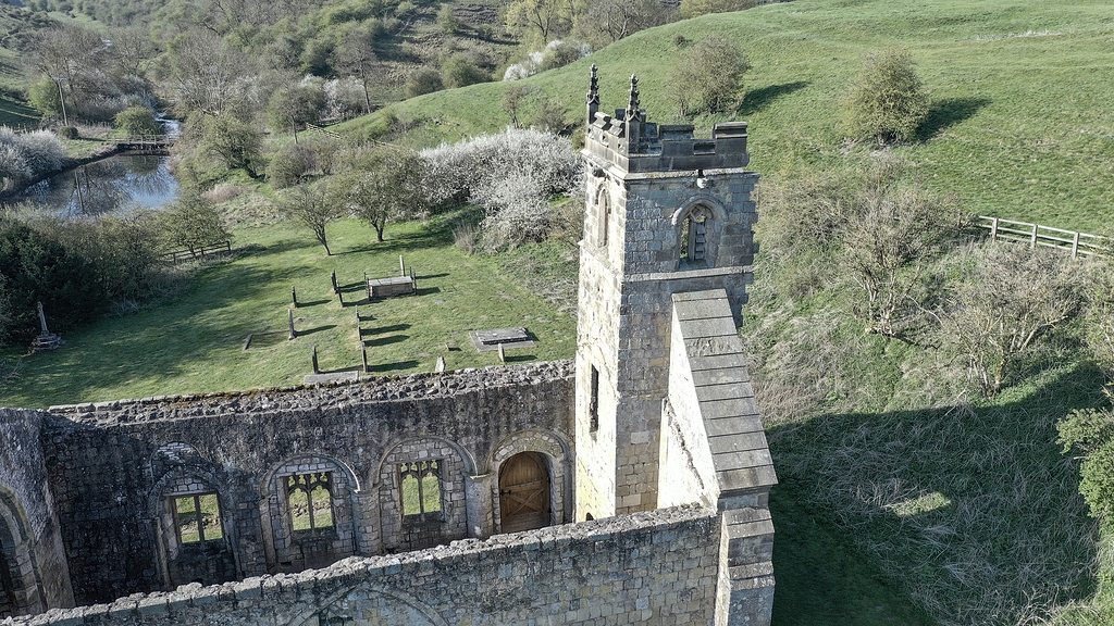 Settlement desertedSettlement deserted, medieval · 1671 yd